Creswell Crags to Worksop – April 2024

This was a lovely walk from Creswell Crags (which I’m very fond of) to the centre of Worksop, going through the Welbeck Estate. It’s a mixture of forest, farmland and some beautiful wild sections.

Creswell Crags is easily accessible from the M1 Motorway at Junction 30 – follow the signs for ‘Creswell Crags’ and you can’t go wrong. Creswell Railway station if you fancy the train or the no. 77 bus between Chesterfield and Worksop.

Try the Traveline website for further information about bus and train options.

I got there fairly early as the forecast was very favourable. We’ve had utterly miserable weather with rain, strong winds and even thunder and lightning the past couple of weeks. Those slate grey skies are not a delight!

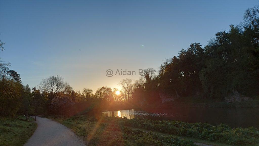
At 6am the sun is just coming up and it’s a treat to see the sun move so quickly into the heavens…

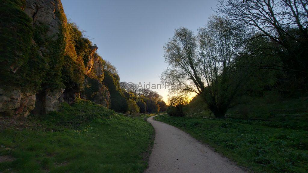
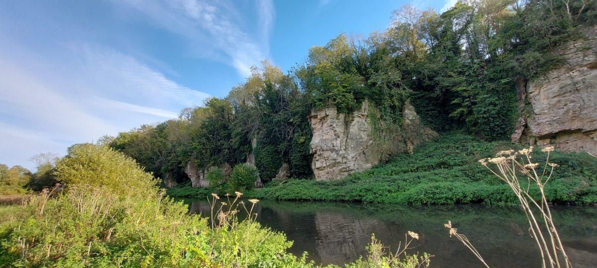
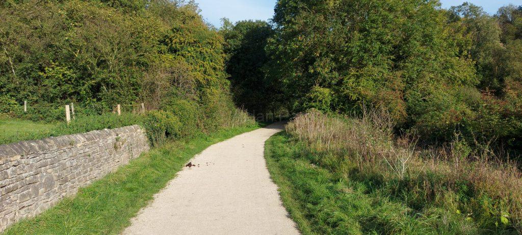
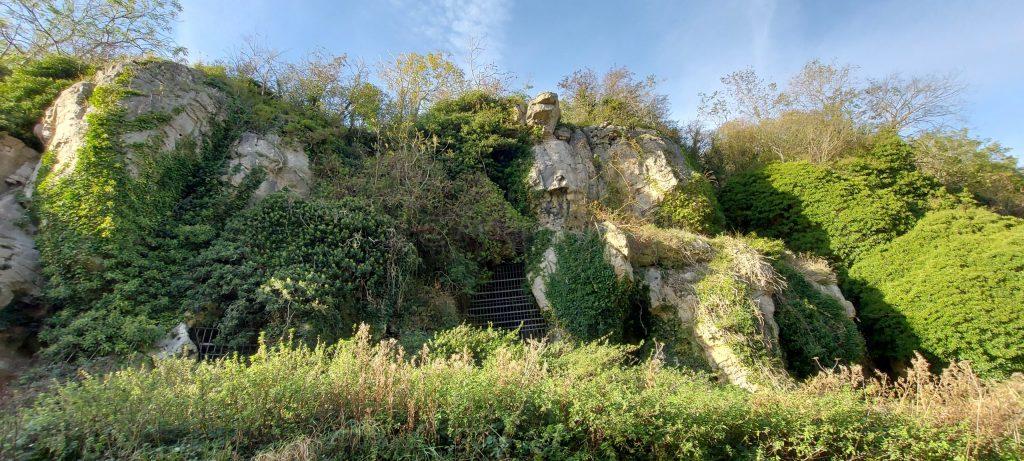
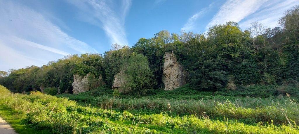
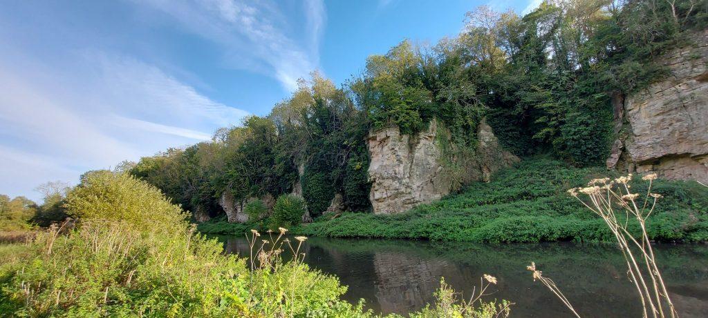
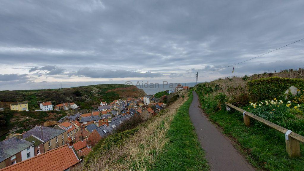
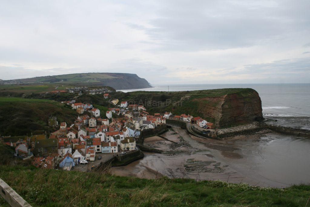
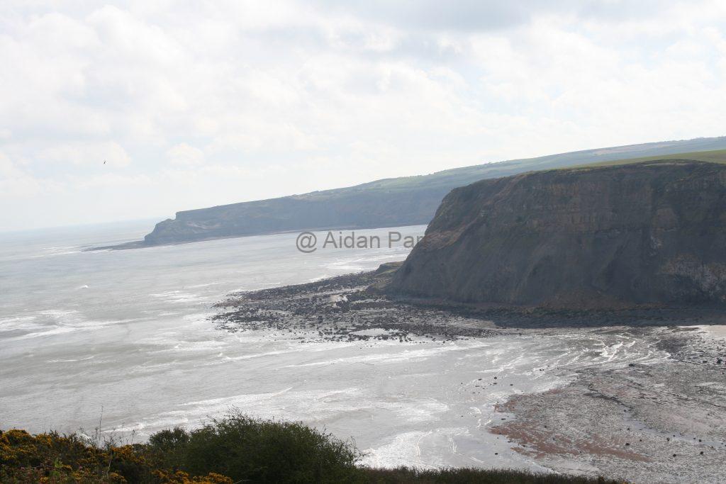
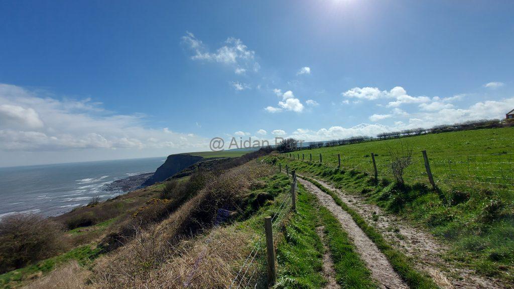
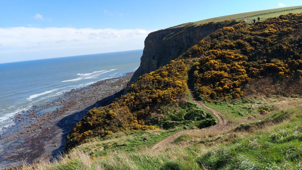
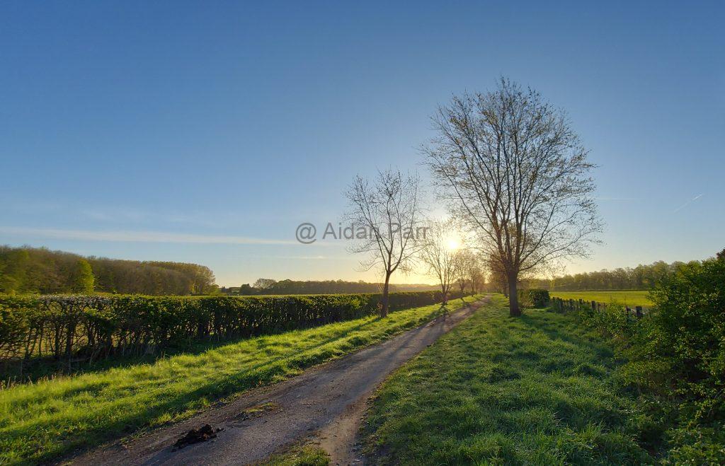
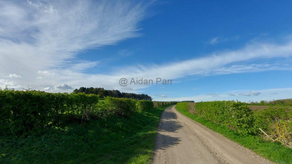
Then it’s out of the Crags and heading east.

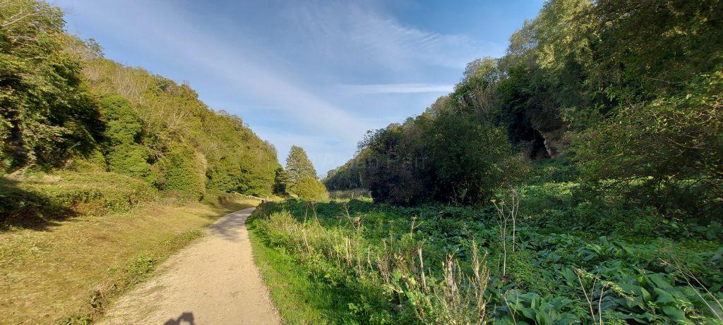
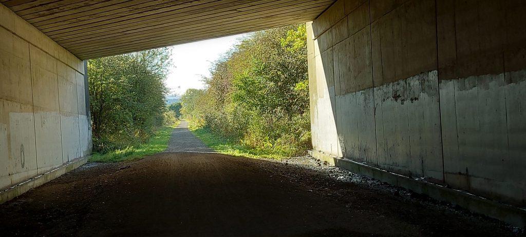
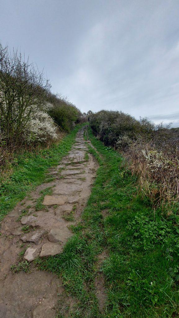
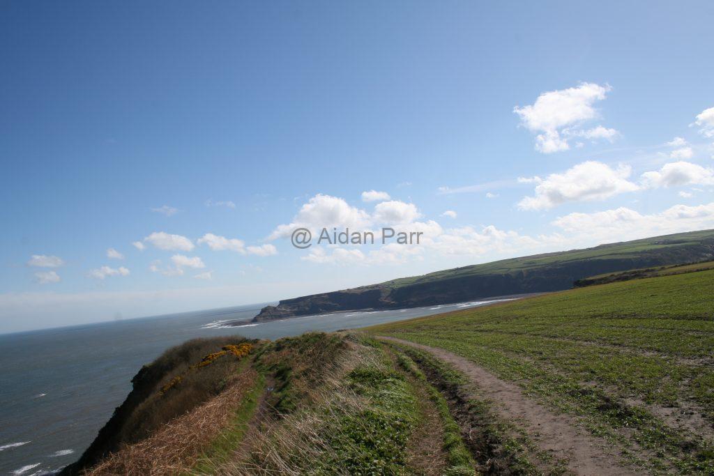
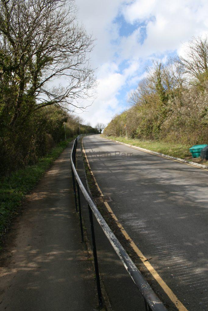
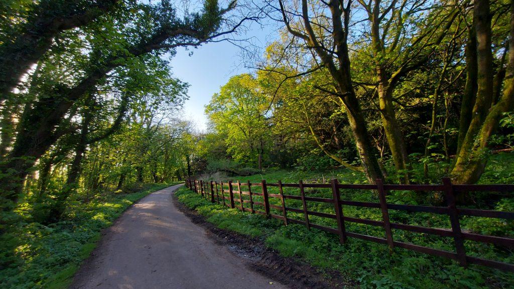
Then it’s over the A60 (take care as it can be busy!) and you’re on the Robin Hood Way. It’s quite a confusing and winding route with many offshoots, so take a look here for ideas to walk it.

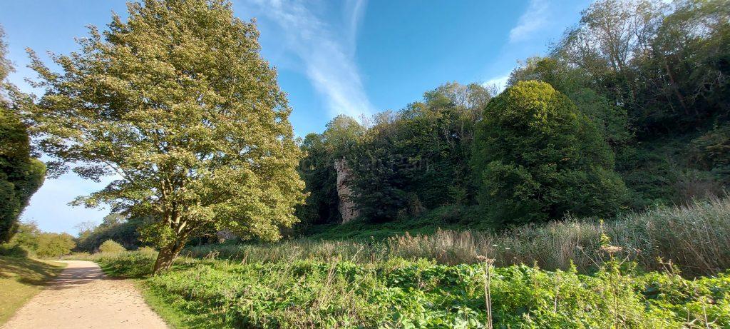
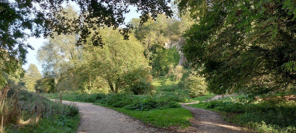
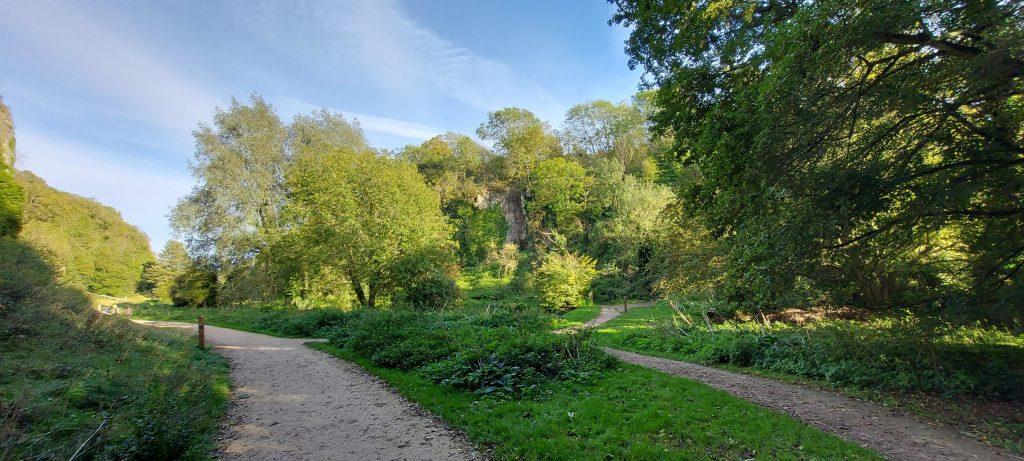
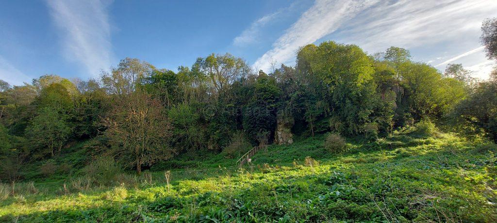
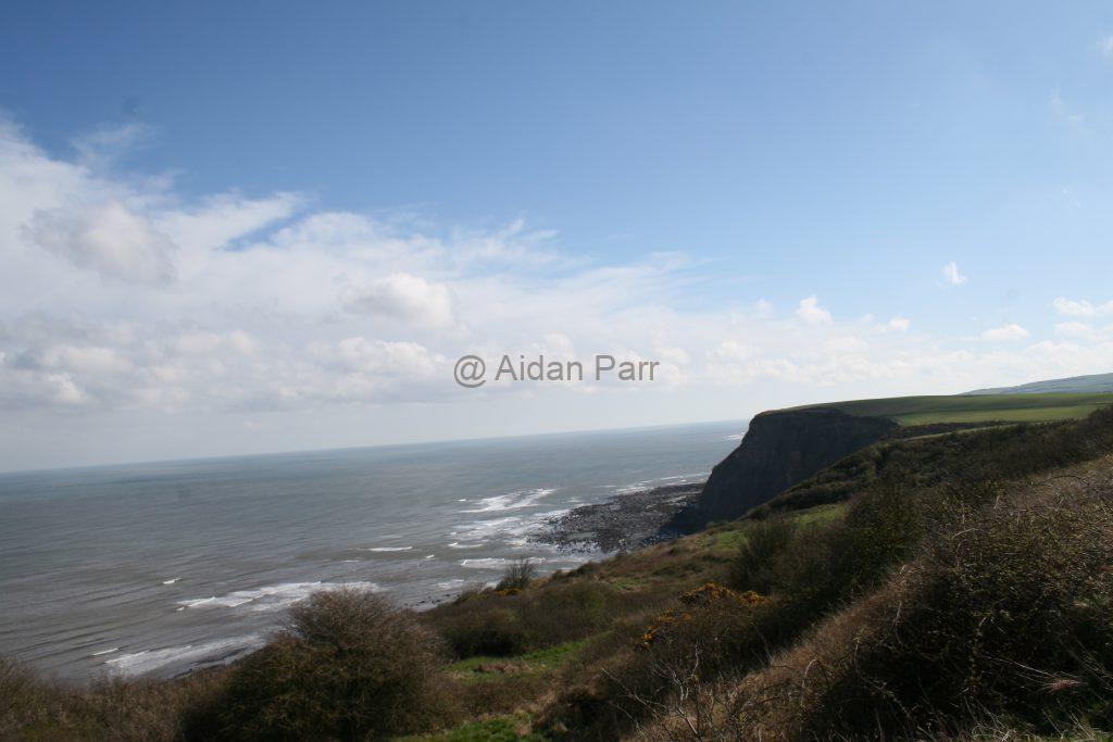
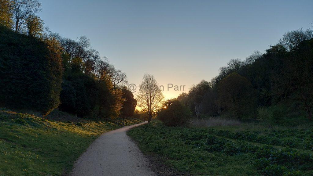
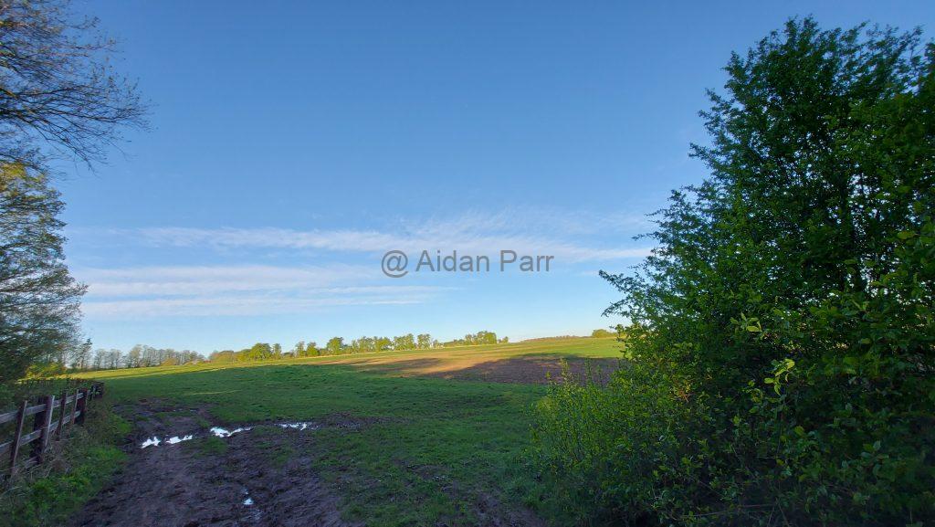
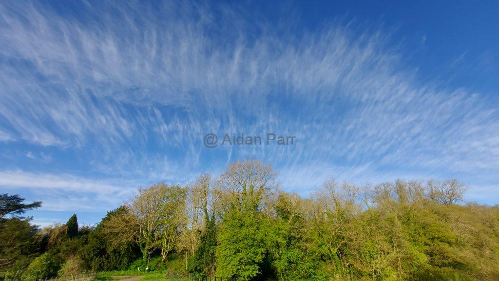
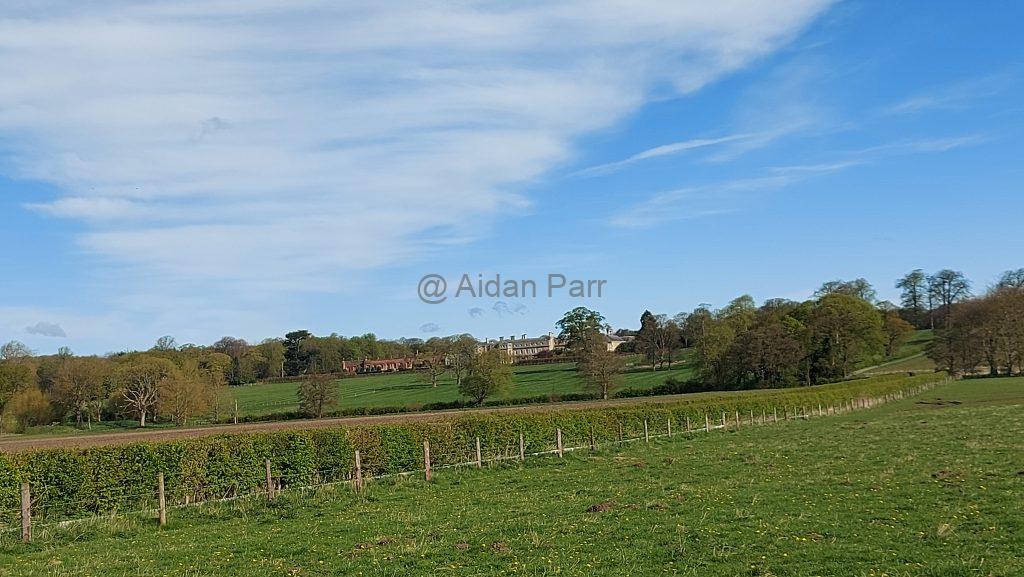
Still heading east with the main estate house to the south:

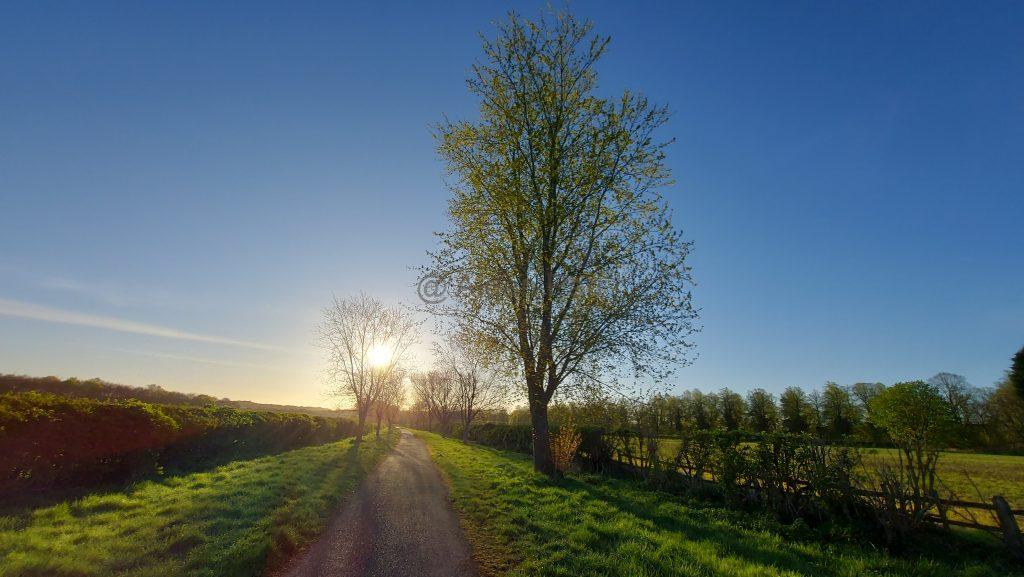
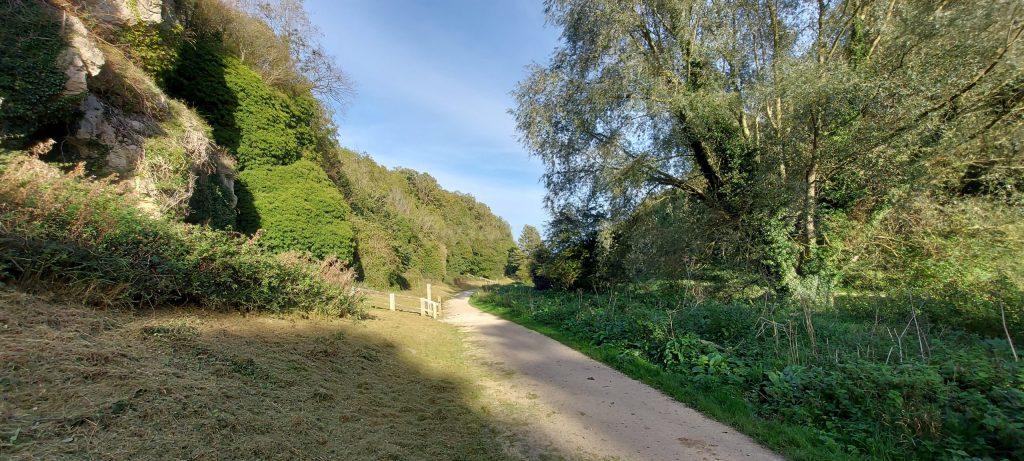
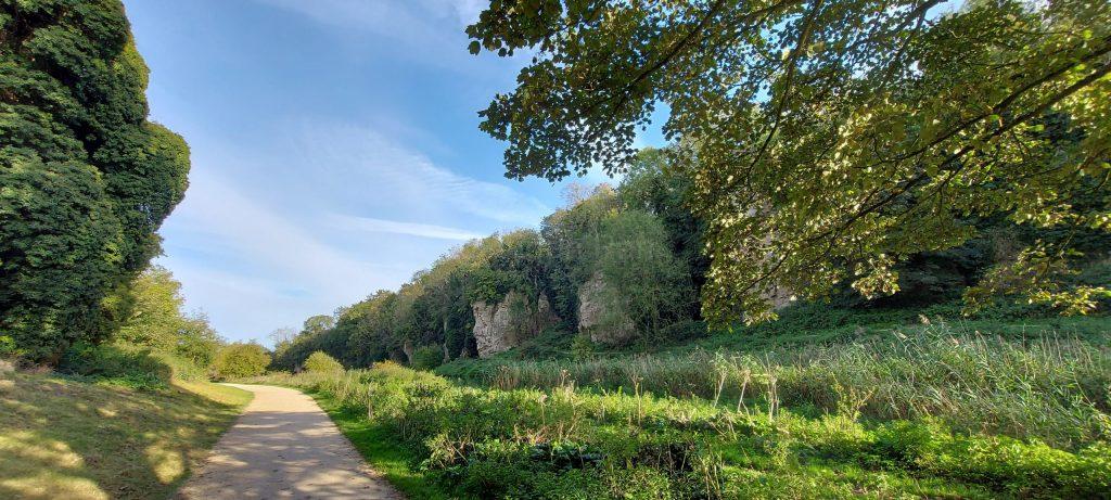
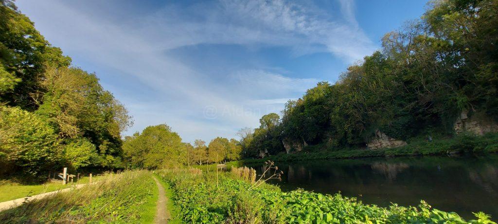
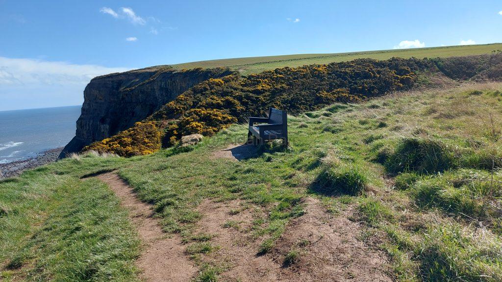
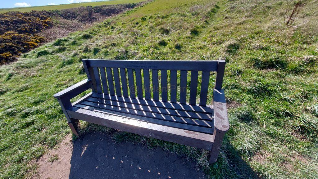
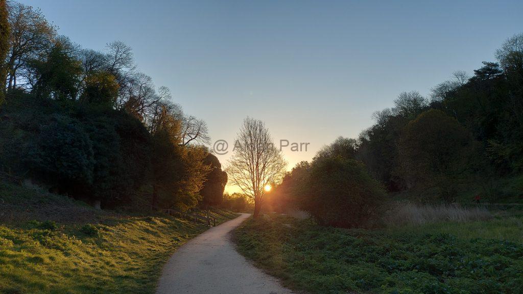
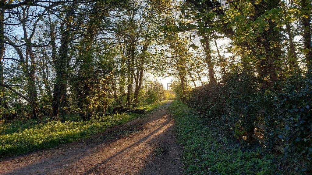
It’s a wonderfully peaceful section with no-one about. remember that there’s a lot of restrictions where you can walk and the Welbeck Estate owners provide lots of helpful red signs to keep you where they want you to be.

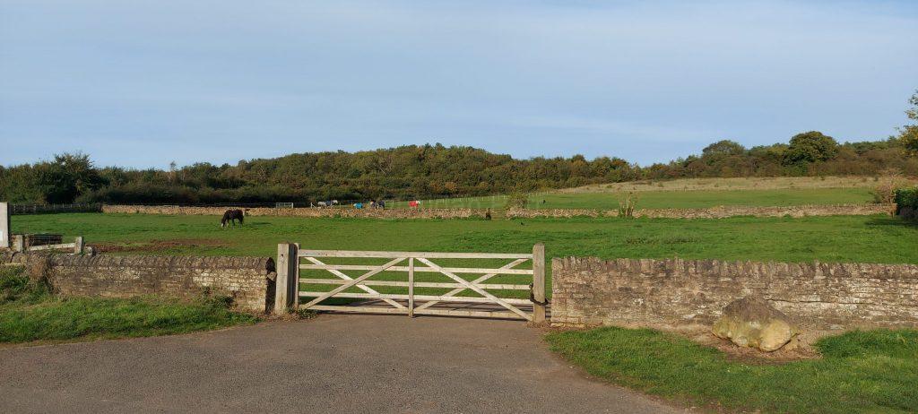
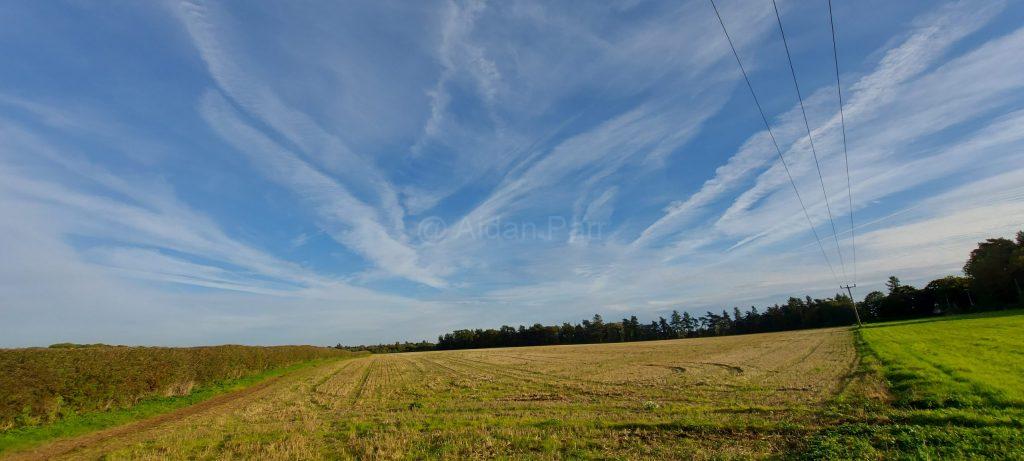
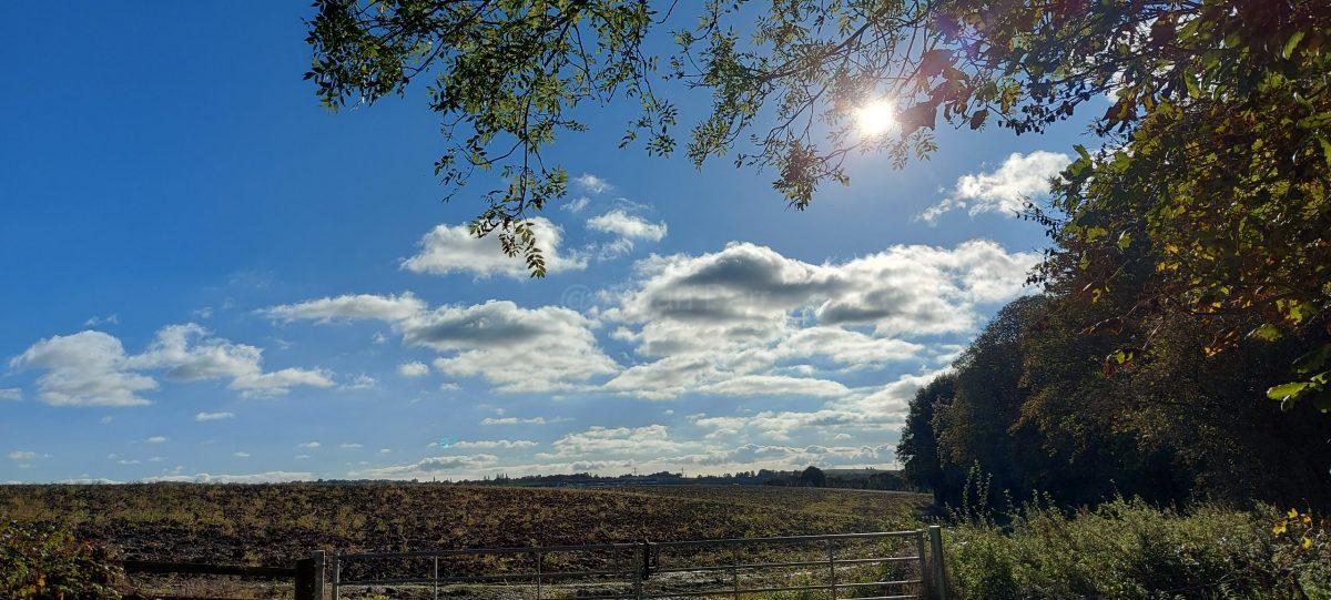
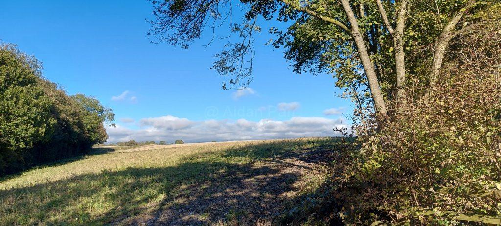
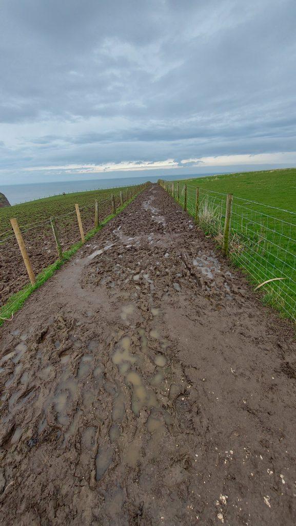
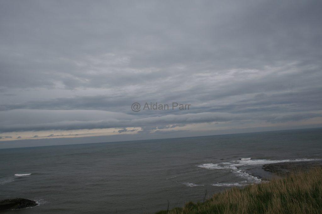
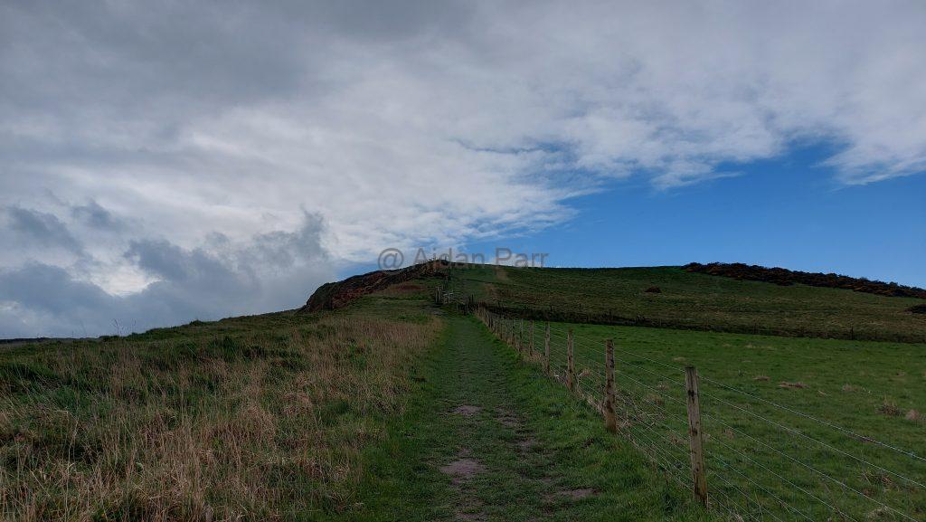
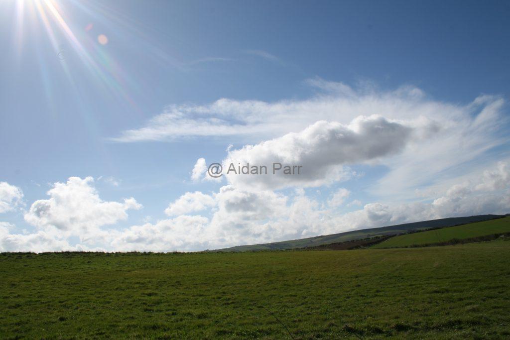
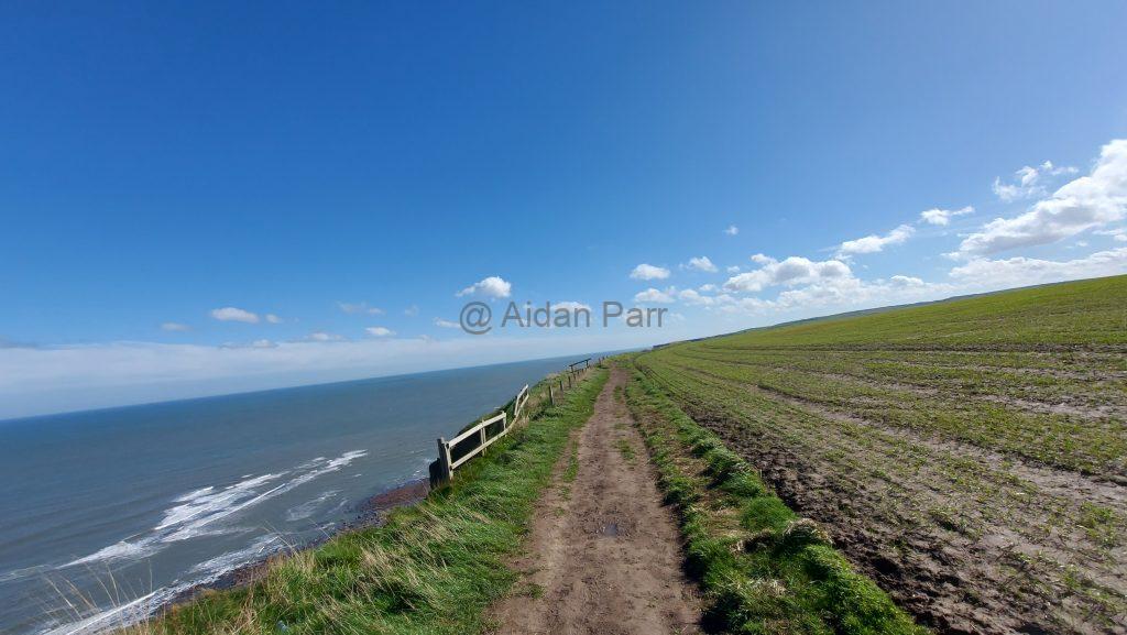
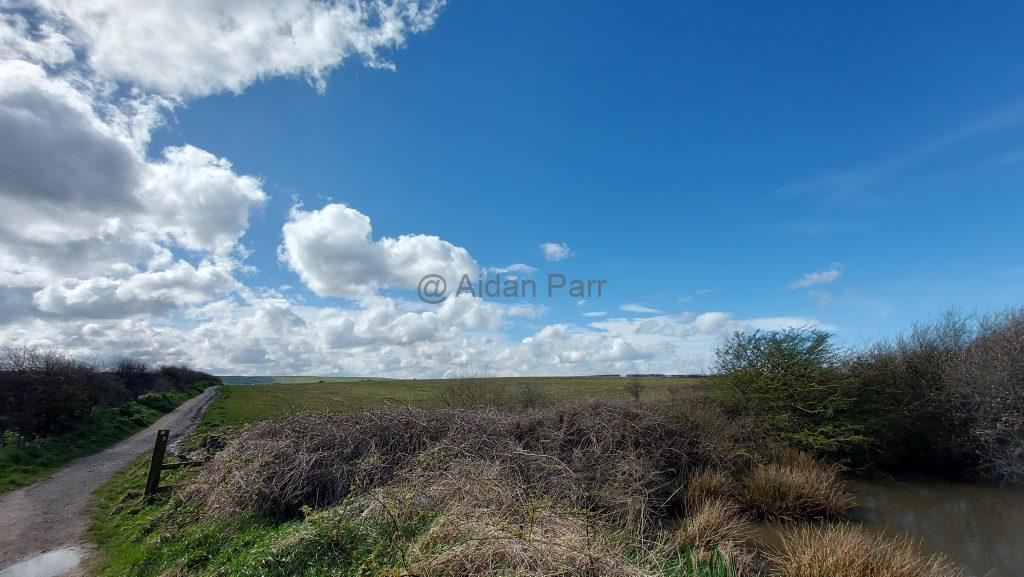
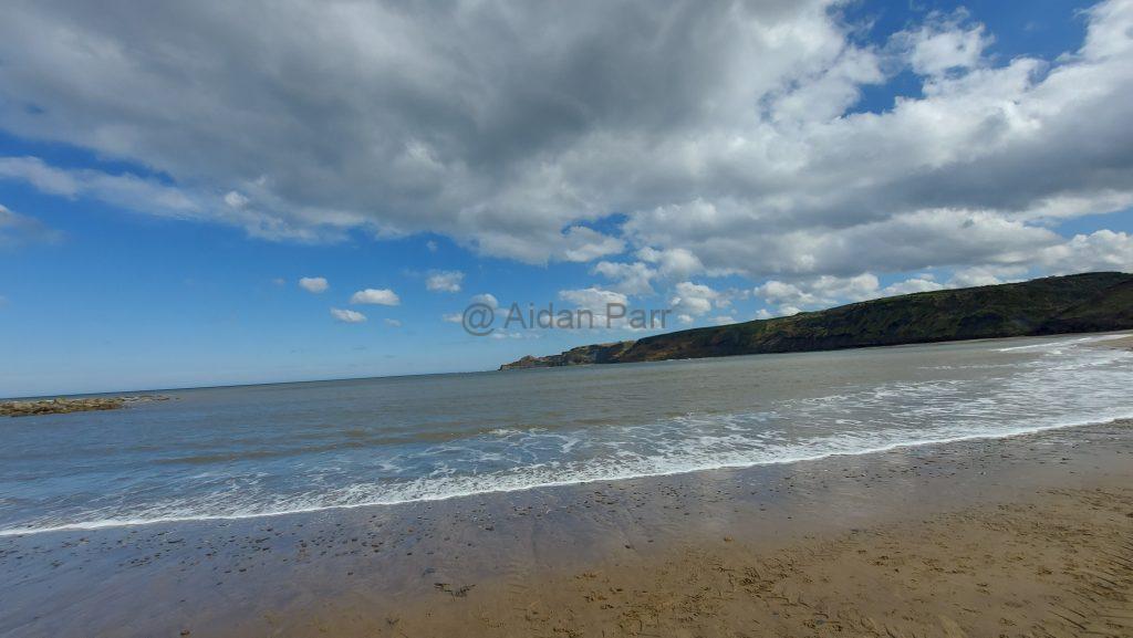
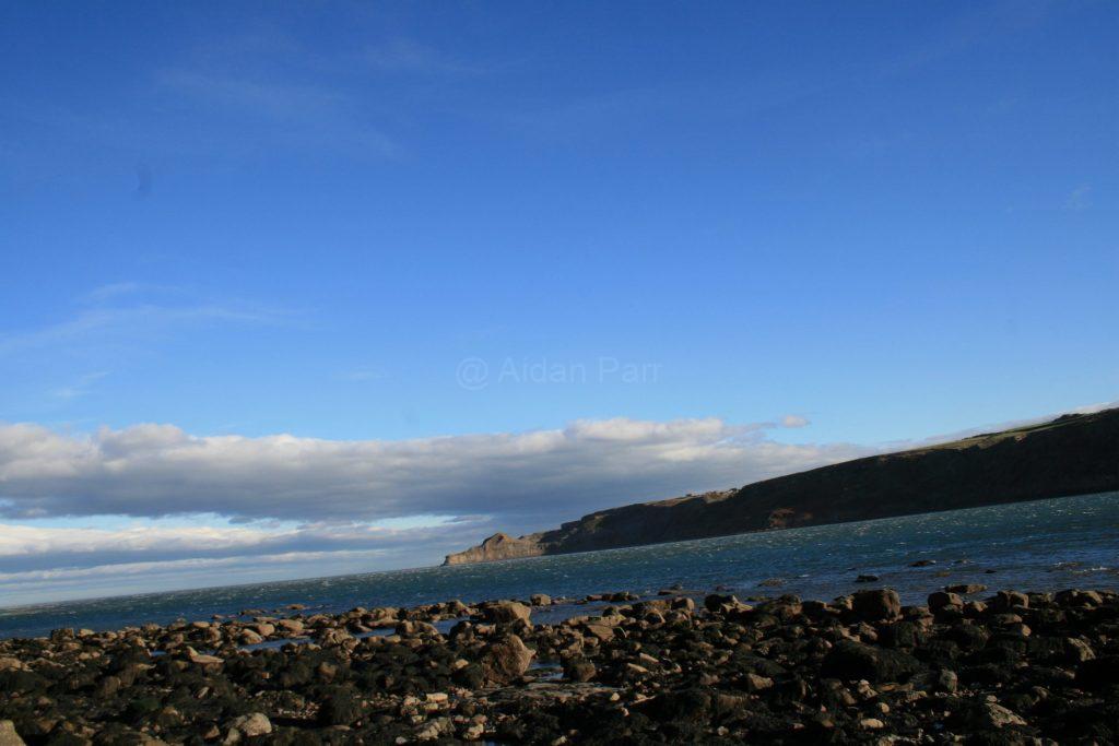
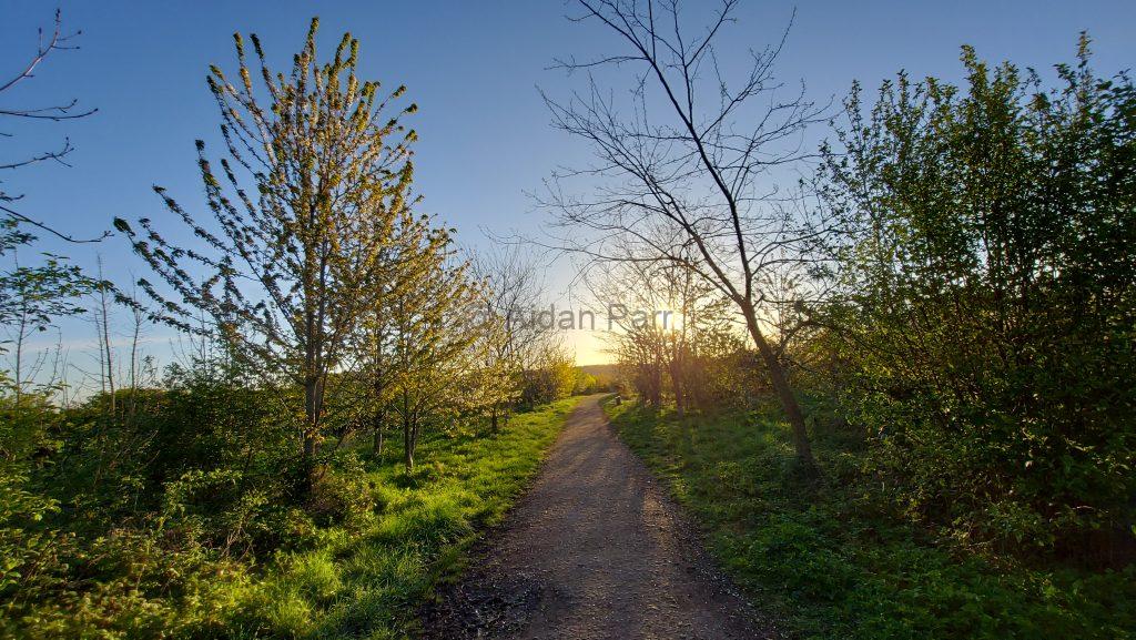
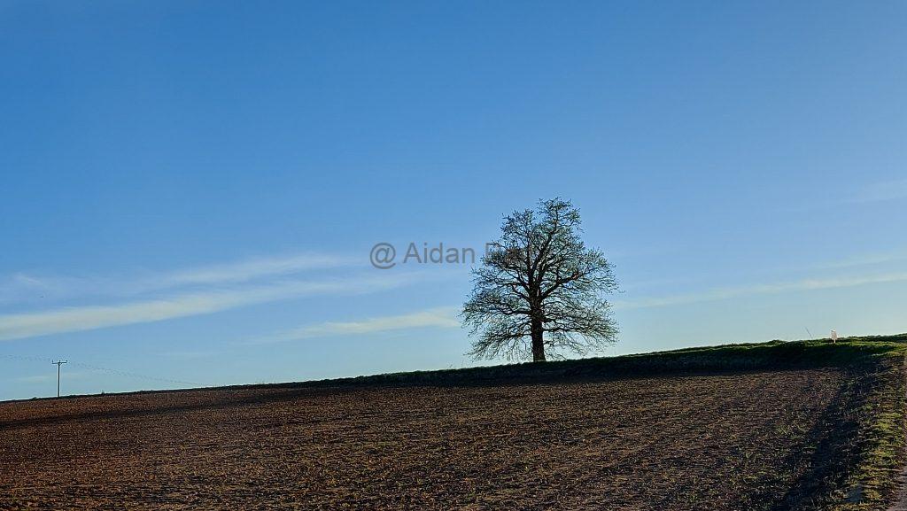
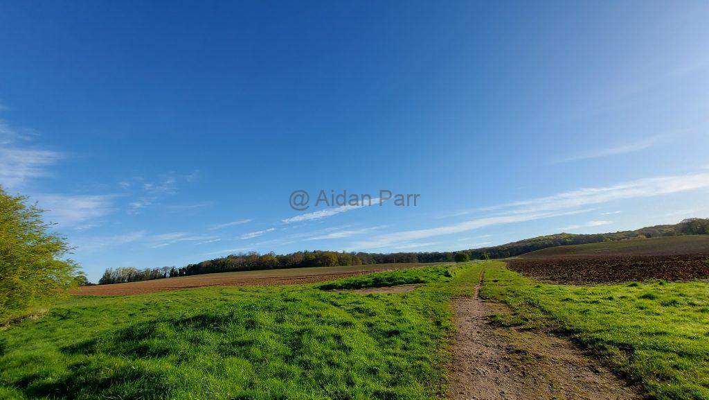
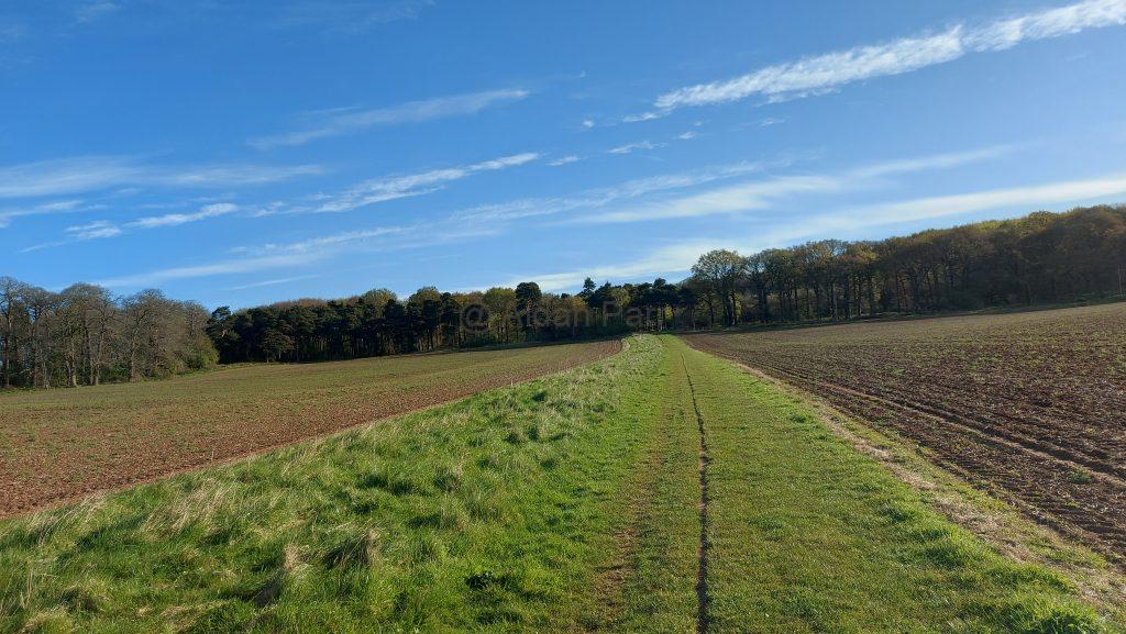
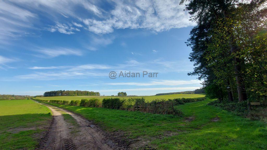
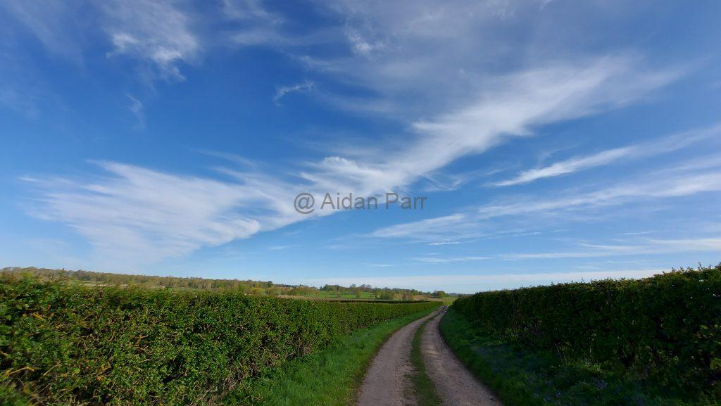
Then it’s out into farmland with wonderful ‘big skies’:

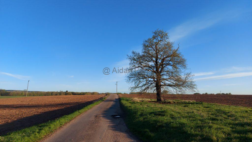
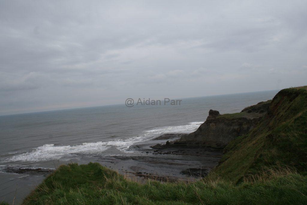
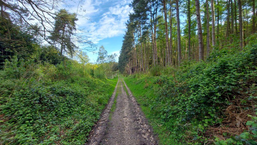
And then into a section of managed forest… with one last look back at the skies:

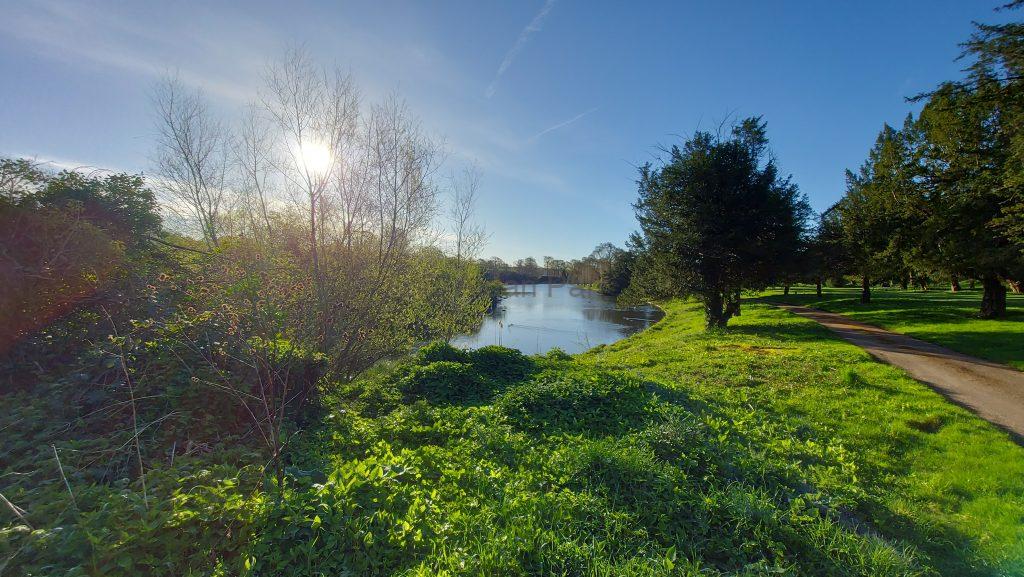
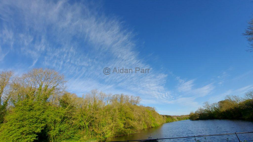
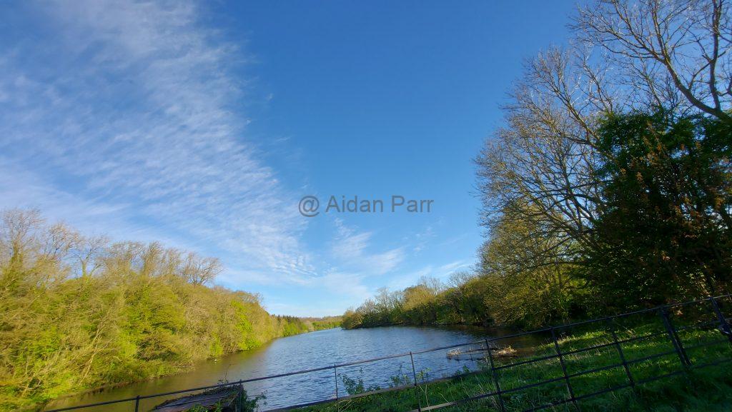
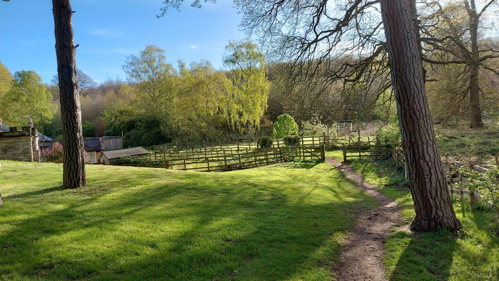
The lake is beautiful and full of birds, geese especially making their prescence known.

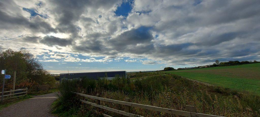
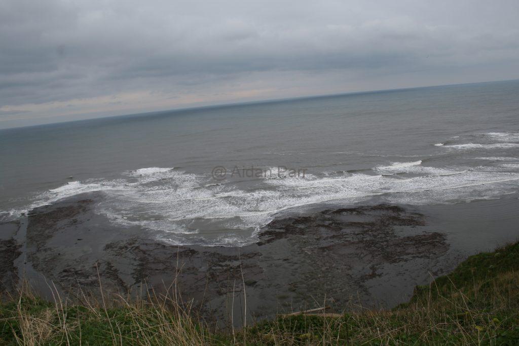
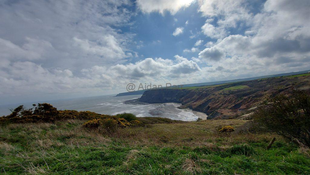
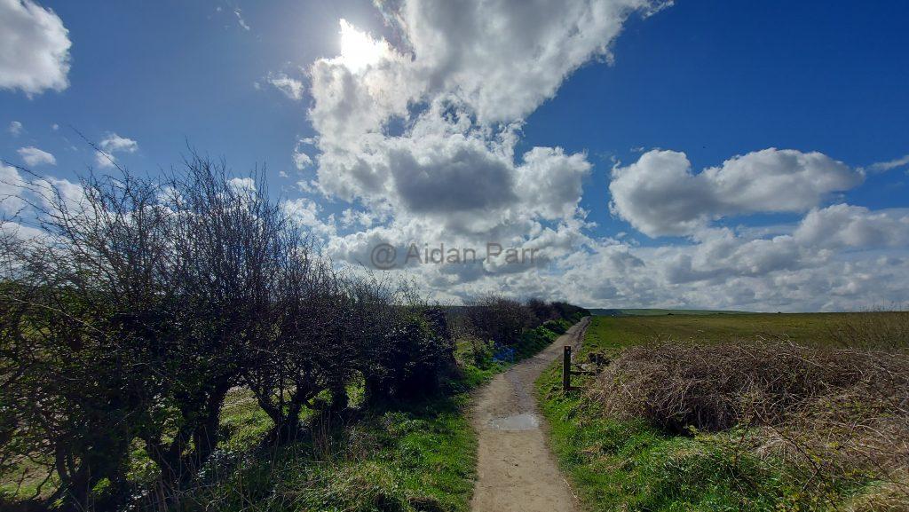
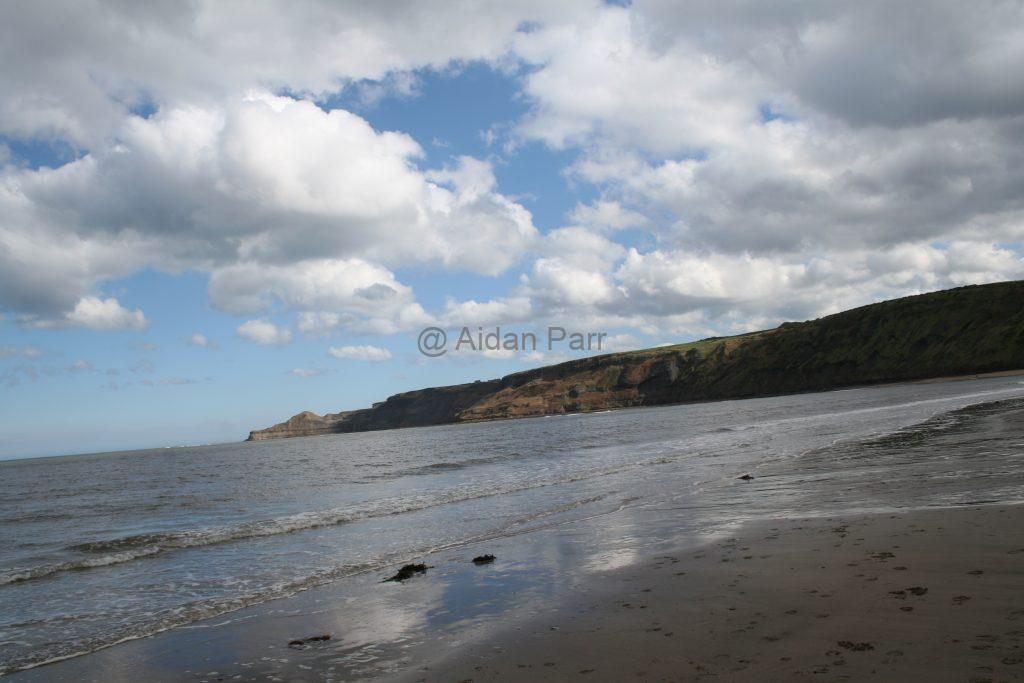
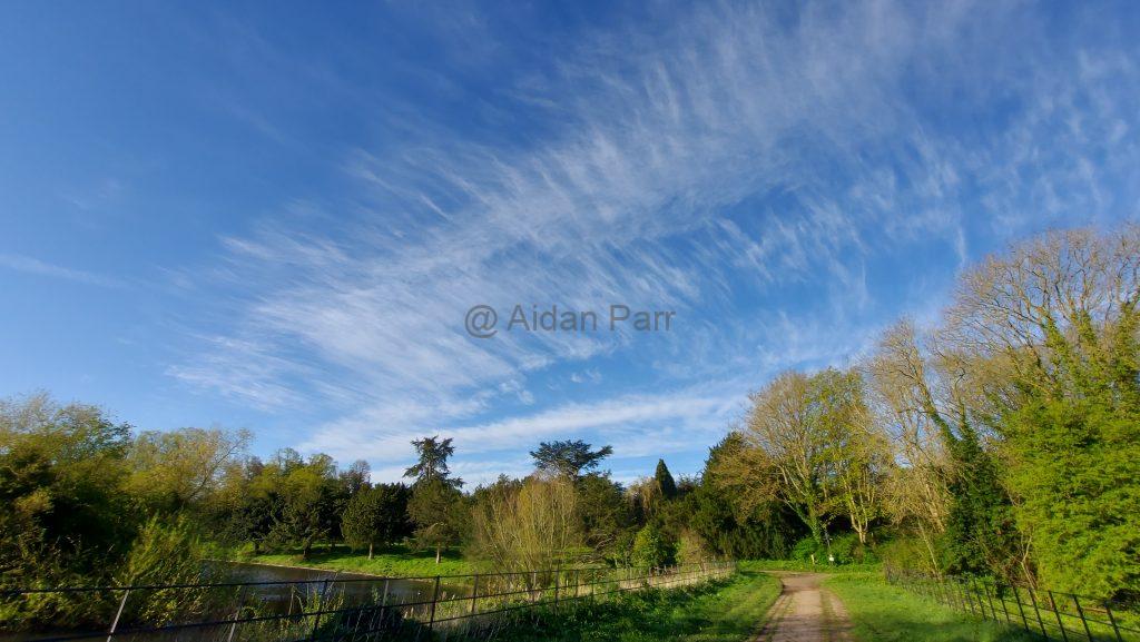
The lake area also gives views of the sky. I’m a big fan of clouds and I thought the fomrations were beautiful!

The video below probably does it more justice?

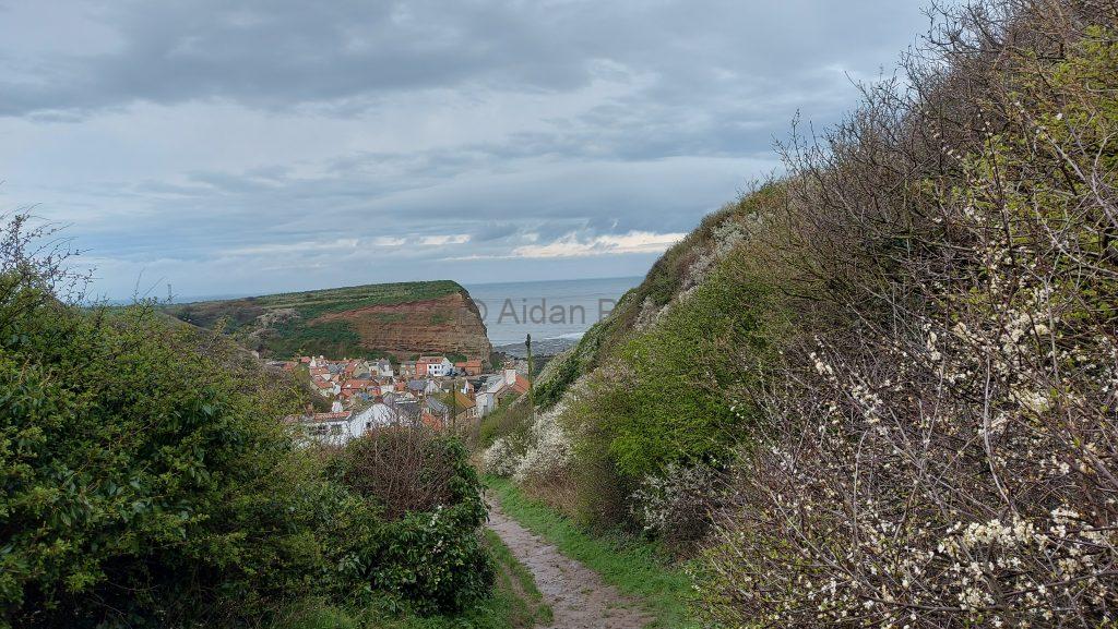
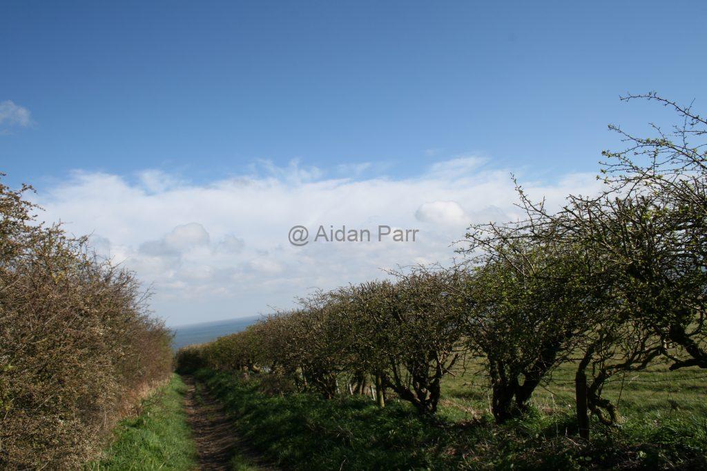
And then onwards easterly…

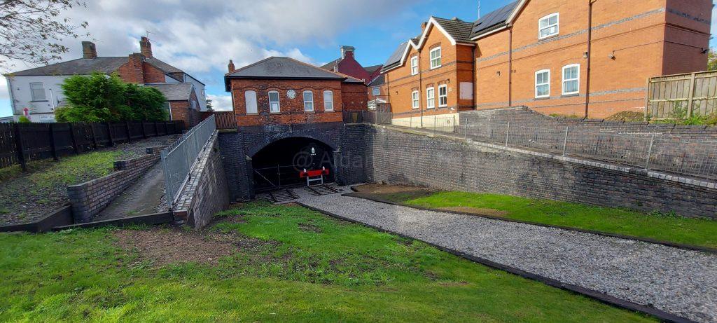
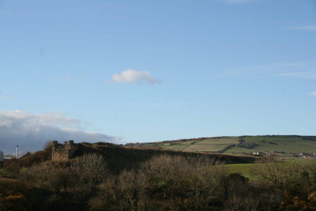
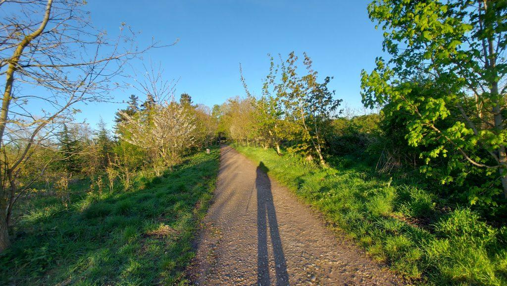
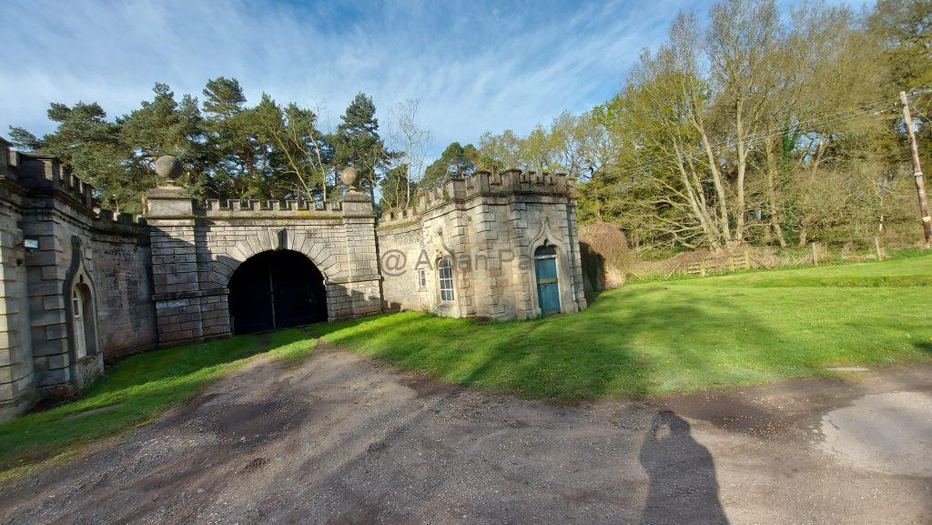
I think this might be an old gatehouse with the cottage next to it for the gatekeeper? Apologies for my shadow but you can’t do much about that with a low sun in the sky.

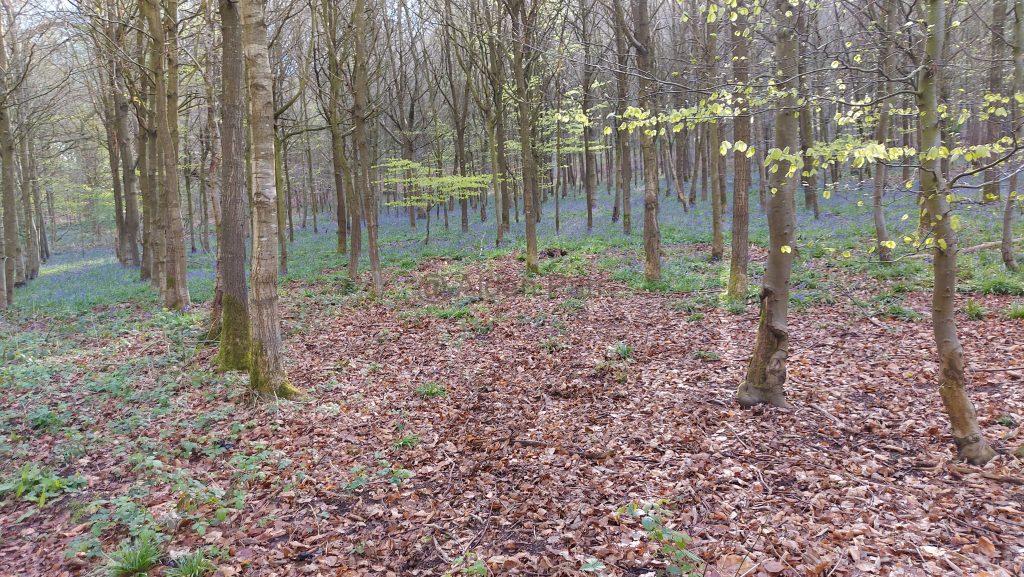
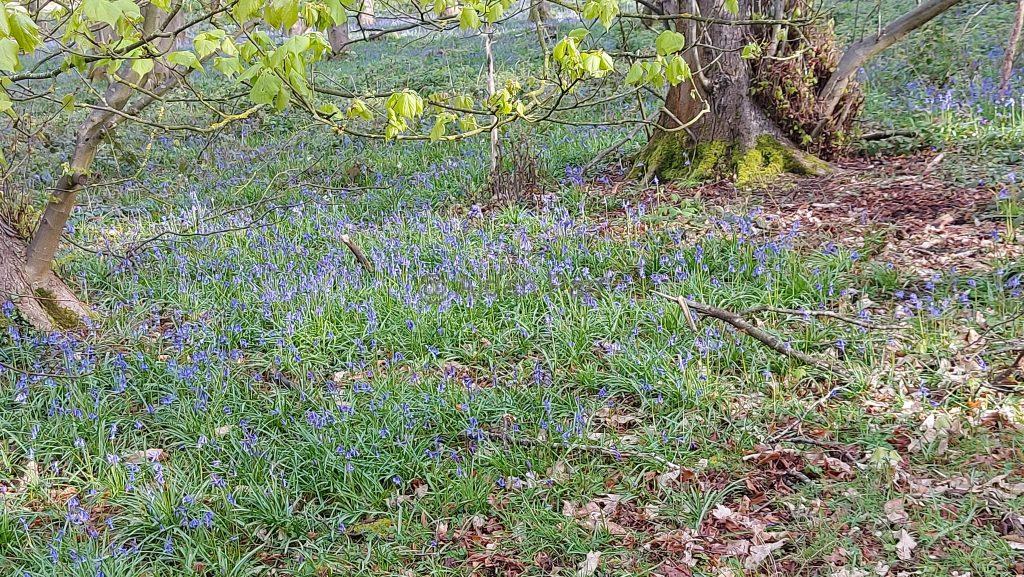
A nice bit of forest but apart from the bluebells, there’s not a lot of nature here – it’s all pine trees for logging, I think? Very sterile and quiet – no bird song at all.

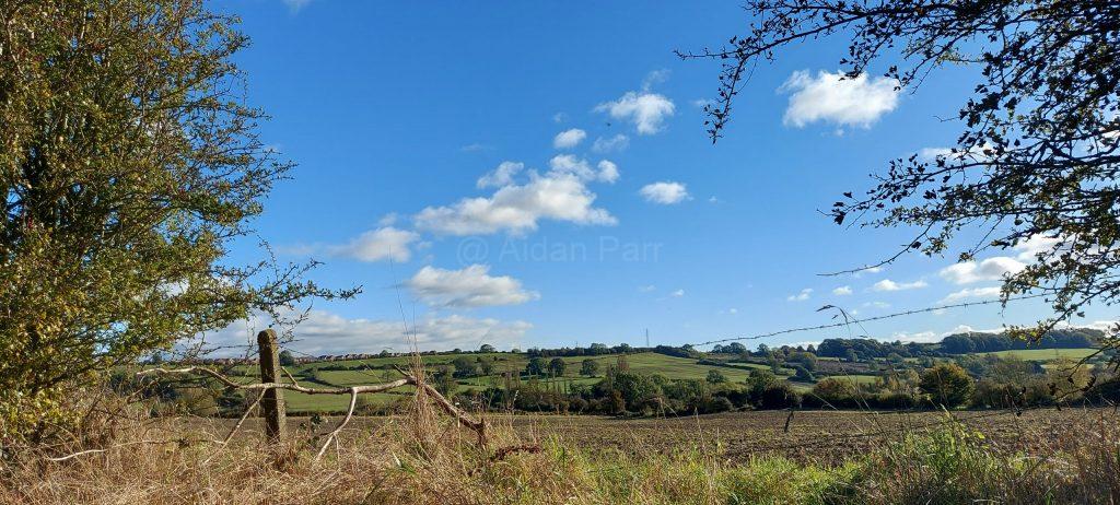
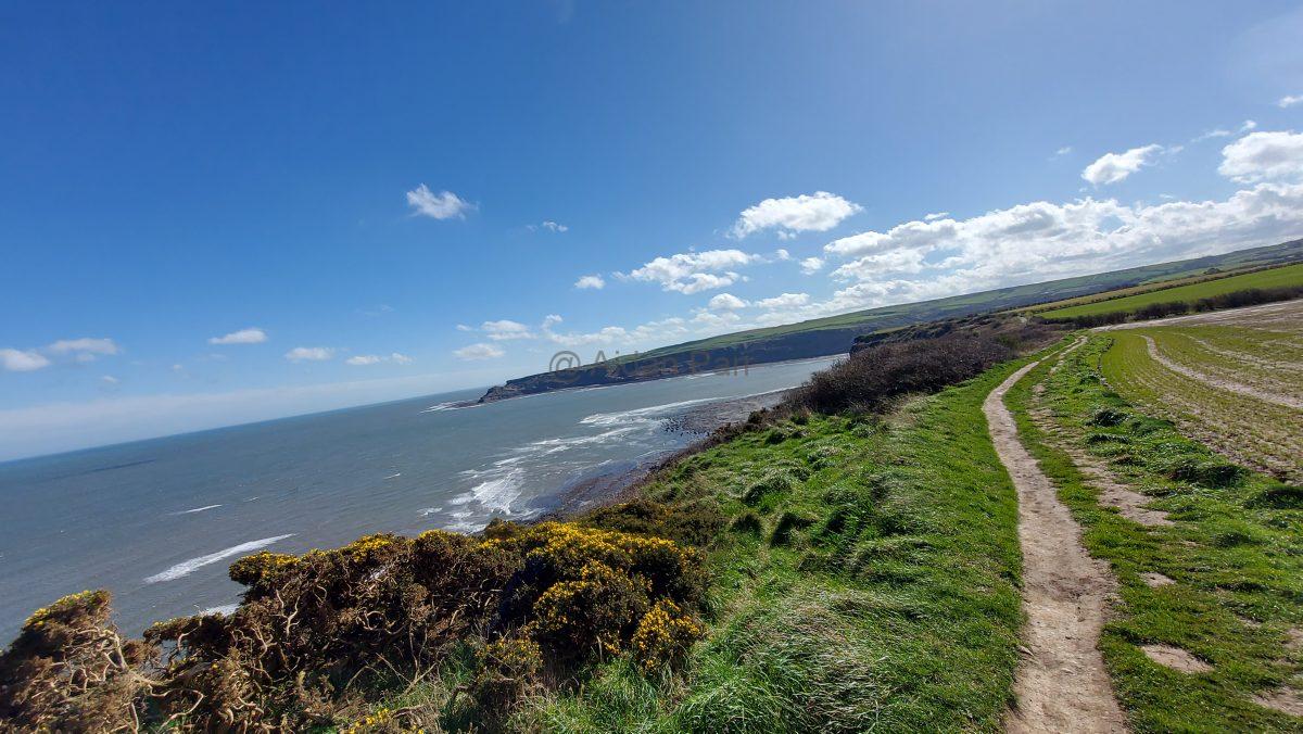
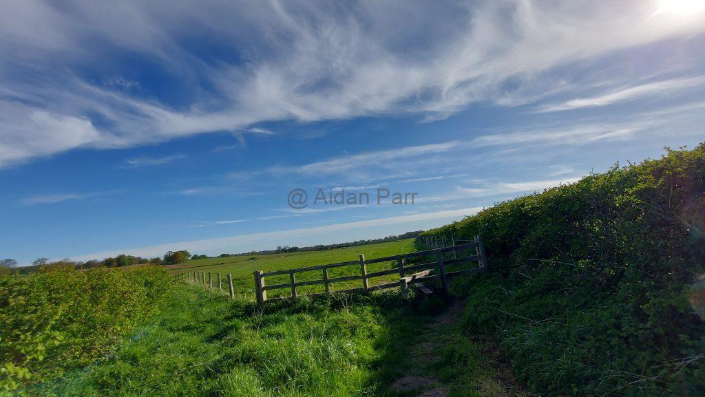
It’s quite a relief to be in open country again. There were skylarks everywhere singing and flying about. Othere birds too but they much to quick for me to take pictures. I enjoyed the riot of different birdson though.

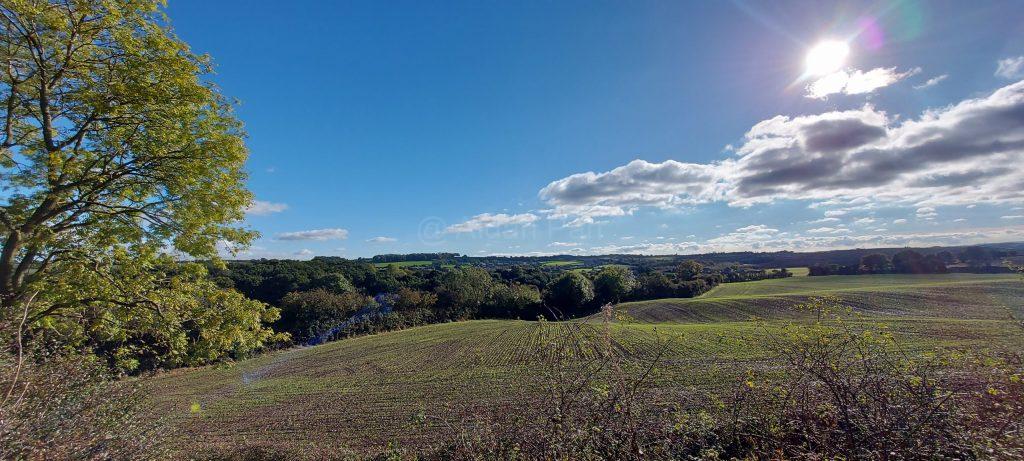
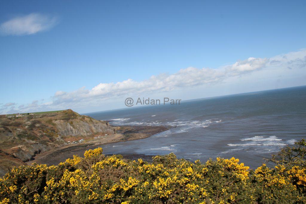
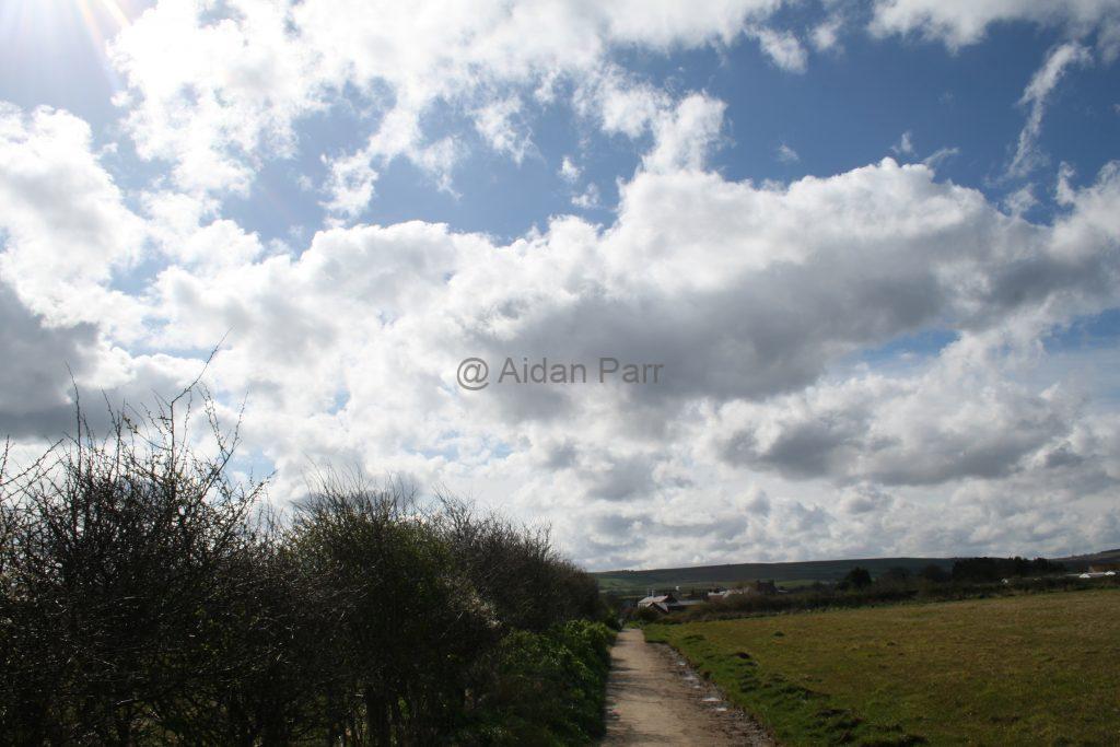
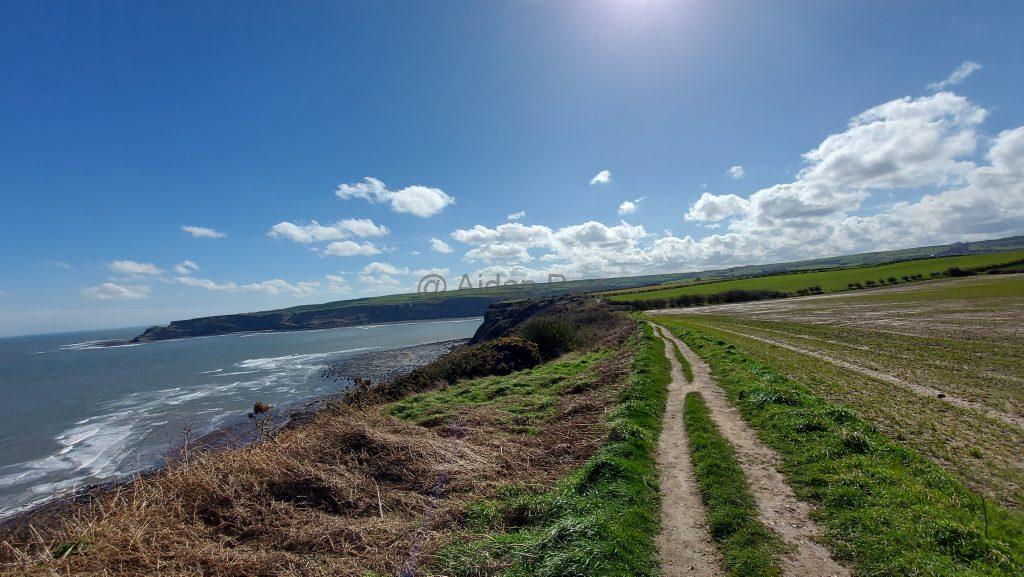
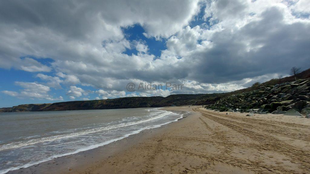
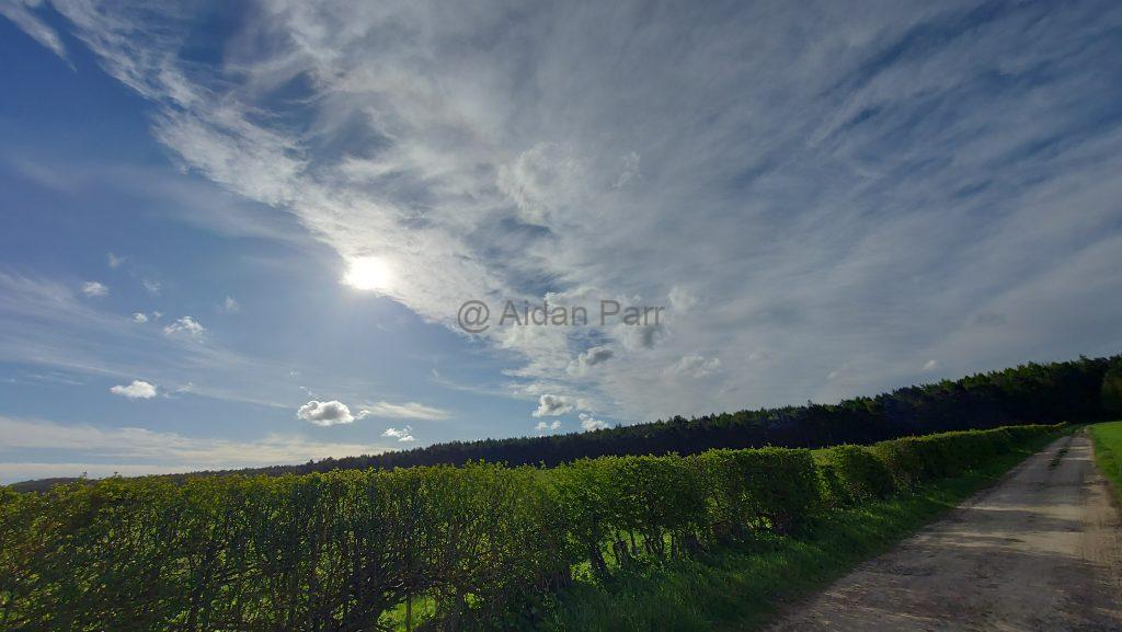
This was another area with ‘big skies’ and I loved all the difefrent sorts of cluds forming from the west:

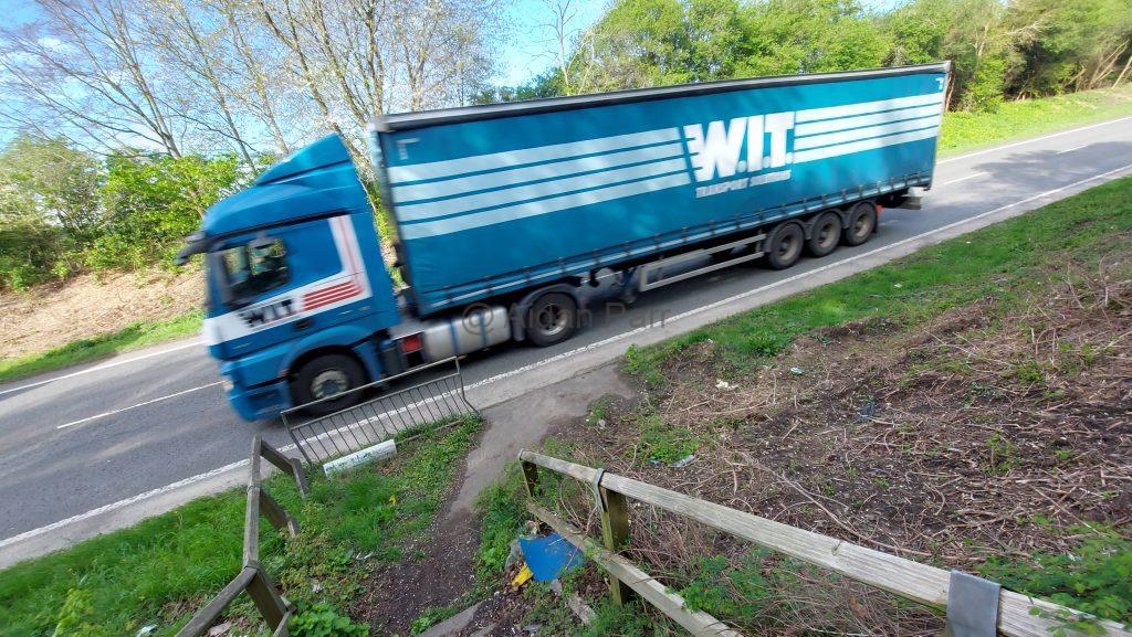
The last section wasn’t so nice. You have to cross the busy A57 road southwest of Worsop. Fortunately it’s not a dual carriageway and there were gaps in traffic. Then you run for it!

I’m not so keen on these huge lorries, to be honest?

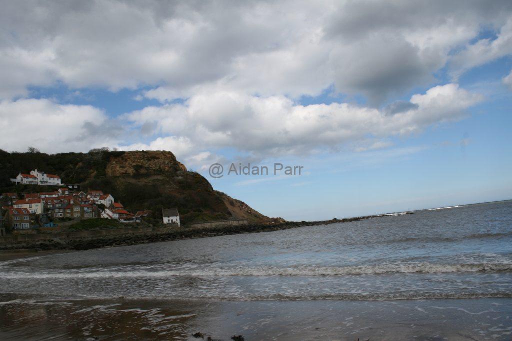
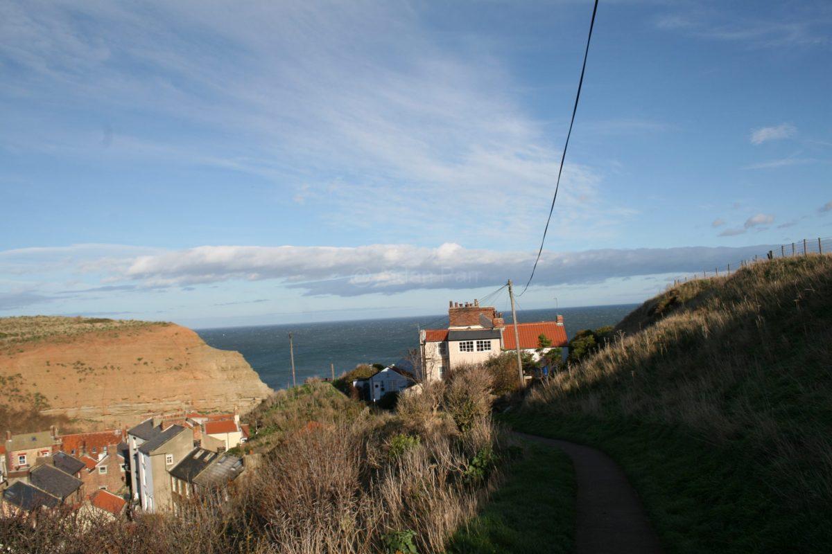
Once over the road, you’re into urban Worksop. There the beautiful countryside and vistas end and it’s housing and finally the town centre. I caught the no. 77 from Worksop bus station to Creswell and then walked back to Creswell Crags.

Try the Traveline website for further information about bus and train options.

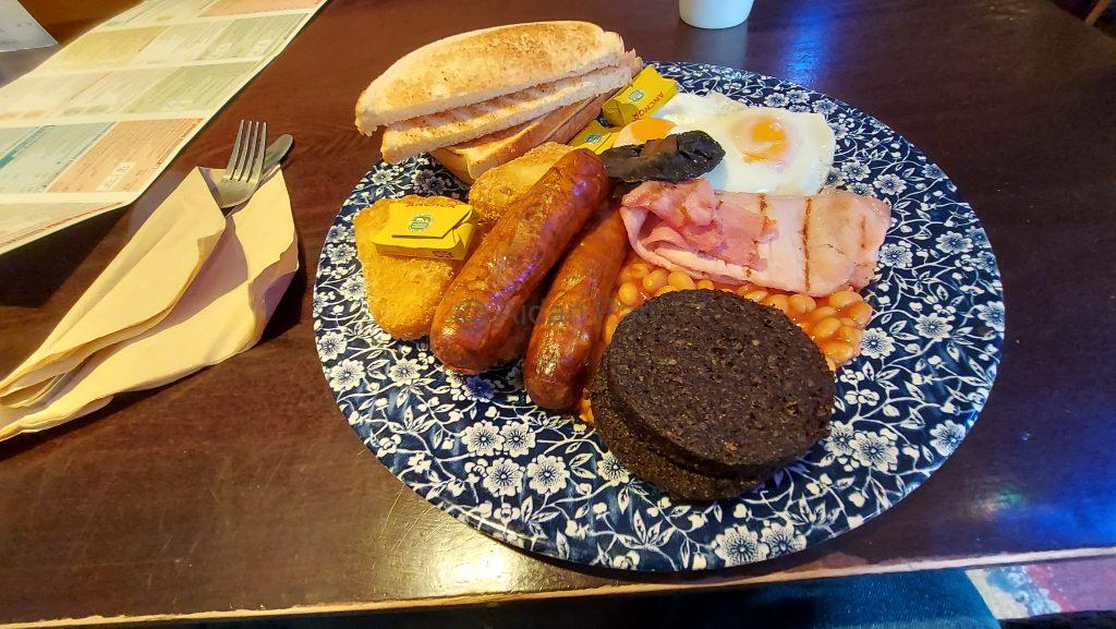
But not before ruining all my healthy walking with a large fried breakfast with black pudding and lots of coffee:

A Brief Walk Around Creswell Crags – Nottinghamshire/Derbyshire Border – October 2023

This was a very short walk at around three miles. I haven’t had time to do much this year, what with one thing and another.

Creswell Crags is a site of special scientific interest. People (in one shape or another) have been visiting for 50,000 years, starting with Neanderthals in the last Ice Age. You can find a lot more about the area here, particularly about the cave art created by its residents.

You can get to Creswell Crags by train to Creswell (Robin Hood Line) and a twenty minute walk or by car: it’s very well sign-posted from Junction 30 of the M1.

It’s also a lovely place to go and wander around and I was lucky that it was an unseasonably warm and sunny day. I haven’t done the place any justice and I’ll have to go back some time to take some proper photos.

Then a view detour to admire the skies near the Crags…

Clowne to Markham Vale, Derbyshire – October 2023

This was a continuation of the walk from Creswell to Clowne on the Clowne Greenway, a former railway line. It was a lucky day, with sunny big blue skies and clouds formations, walking from Clowne to Markham Vale.

If you want a better view of a picture, right click on it and select ‘Open Image in New Tab’.

You can park in the free car park next to the Nag’s Head pub in Clowne and you’re right next to the Greenway:

Unlike the Creswell to Clowne section of the Greenway, this part does gradually open out onto countryside which makes it a little more interesting.

Then it’s onwards to the joy of the the countryside but the gradual roar of traffic on the M1 motorway:

Until it really is loud!

And finally to Markham Vale where I turned back. The whole area has been transformed into storage units because of its proximity to the motorway. I’m not so keen on pavement walking with cars and lorries roaring by.

There are lots of other walks west of Markham Vale, heading south to Chesterfield and north to the outskirts of Sheffield and it’s also close to the Trans-Pennine Way, which I’ll explore at a later date.

Staithes to Runswick Bay – March 2024

It’s been a long time since I’ve posted a walk! I’ll try hard to catch up where I’ve been (or not been) over the next few whiles… unfortunately knee problems have limited some of my trips to more local and shorter hobbles.

So this is Staithes, which I visited in November 2022 but the weather was windy and I’m a chicken when it comes to gales and cliff walks so I didn’t get far. I also made a brief trip in the car to Runswick Bay on the same day and the pictures are here.

I’d been itching since then to get back there and this is a walk between the two seaside towns. The weather started off rather grey and forbidding but soon changed to sun, blue skies and beautiful cloud formations and made for a delightful walk.

Just a warning: don’t try this walk in trainers as it’s quite muddy and slippy. I came across two walkers, one with walking boots, the other wearing trainers. You can probably guess which one didn’t enjoy the walk at all?

I parked in Bank Top Car Park in Staithes: it’s worth it to pay for 12 hours parking as that gives time to get to your destination, avoid mishaps and find places you didn’t know existed and enjoy them without worrying about time.

Up the hill to the cliffs…

An example of how muddy it can be!

Once up on the cliffs you get a lovely view of Staithes and its harbour:

And then it’s off down south along the coast. The weather was cold and gusty and bleak but in my eye still beautiful:

Fortunately a bit of blue sky appeared and the day started to brighten up:

And it continued to improve becoming very pleasant:

A view of Port Mulgrave. As you might guess, there used to be a port here, where iron ore was exported around the world. There’s not much left of the port but it would be worth exploring the area more?

Whoever put the bench here deserves a medal. And I did sit a while and enjoy the view:

Some more steps to test the knees but the view distracts…

Along the coast. It was one of those ‘bog skies’ days that I love so much and the clouds did not disappoint!

Then down the very steep hill to Runswick Bay. This is not good on knees but it’s worth it. Eventually.

Runswick Bay really is a beautiful spot.

The beach stroll was followed by strawberry and chocolate ice cream from the cafe and very nice it was too.

Then it was back up that hill! Fortunately there are a few benches to rest on. I’ll adnit to gasping a bit and hanging on to the rail for dear life. Looking back, the view still makes the incline worthwhile.

There is a car park down near the beach if such hills present too much of a challenge…

I caught the X4 bus opposite Runswick Bay Hotel back to Staithes. At the moment, fares are only £2 so cheap and quick!

A great walk and a mix of changeable weather that reveals the beauty of the area. Start off early to avoid the crowds, especially when the weather is fine early on.

A Little Bit of Runswick Bay, North Yorkshire Coast – November 2022

These are a few pictures of Runswick Bay on the North Yorkshire Coast taken in November 2022. It’s about 2.5 miles by car from Staithes and a 3 mile walk on the Cleveland Way.

You can get a bus back to Staithes or down the coast south to Scarborough and beyond. Check the timetables – be aware they might change!

It’s a very beautiful spot but I imagine it would be very busy in the summer. It being November and a windy day, there were hardly any people about – which is nice!

And lastly, a video of the bay…

A Little Bit of Staithes, North Yorkshire Coast – November 2022

This was a feeble attempt to carry on walking part of the Cleveland Way, which runs down the North Yorkshire Coast from Filey in the south to Saltburn-by-the Sea and then inland to the North York Moors National Park.

Have a look here for more information.

I’d already walked Saltburn-by-the Sea to Skinningrove and then Skinningrove to Staithes, so I wanted to walk the next stage, from Staithes to Sandsend, just north of Whitby. I’d already walked north from Robin Hoods Bay to Whitby previously.

Unfortunately I’d caught Covid about four weeks before but with everything booked and I still went to ‘try’. The spirit was willing but the flesh was weak, so I ended up pootling around Staithes, tea and cake and then up the hill to think about walking some of the Cleveland Way south.

You’ll see from the last video at the end of this post how windy it was and how unwise it would have been to try, so close to the cliff edge.

So, here’s a little bit of Staithes instead…

And up and up that hill…

Once up on the cliff, I ended up hanging on to fence posts as the gusts were so intense and then chickened out. It’s a fabulous view and a proper walk for another day.

So it was back to the car and across Staithes by back alleys…

And the only clue that trains once used to run to Staithes: the remains of a railway bridge…

Here’s the videos including the wild winds!

Parsley Hey to Biggin on the High Peak Trail, Derbyshire – September 2022

This was the route back from a walk between Biggin and Parsley Hey on a previous post. The High Peak Trail is another one of those Victorian railway lined closed in the 1960s. I’ve walked the southern start of it at High Peak Junction near Cromford Mill.

I must finish the rest of it some time!

Heading south from Parsley Hey but taking the western High Peak Trail. It’s not as popular in the area as the cuttings are deep and the view isn’t so good. It;s still a tribute to those Victorian engineers who didn’t let anything get in their way…

I walked to Friden, then a short stretch of road walking (which I didn’t like) and then cross country, over the Tissington Trail and then a short field walk to Biggin.

It’s here on the bridge you come across one of the companies that built the High Peak Railway line, Josiah Jessop Esq. The work reuqired to survey and build the Cromford and High Peak Railway finished poor Jose off and he died of ‘over-exertion’.

Continuing south with bridges over deep cuttings until you come out into open fields and those lovely ‘big skies’:

And onward to the former station at Friden.:

Then it was road walking on the A5012 to the main A515 between Ashbourne and Buxton. The roads can be quiet but the cars are very fast. Plus there’s an occasional lorry from the Brickworks at Friden to add to the fun.

You can walk on grass verges and on pathways on the roads but I didn’t enjoy this stretch at all.

Walk on the A515 until you see Stanedge Grange and cross over the road (with care!). Climb over the stone stile to the left, then across country… you’re corralled with fences and barbed wire, so just follow them.

It’s much nicer out into open fields, heading east to the Tissington Trail. You’ll see it across the landscape like a huge stone wall:

walk up the path onto the Tissington Trail and then immediately down on the path on the other side:

It’s a short walk across the fields to Biggin with one last stile before you get to the main road…

It’s not a spectacular walk and the views aren’t as rewarding as other walks I’ve done. I can’t help admiring the huge amount of work done, mostly by hand, to build the Cromford and High Peak Railway.

Do bear in mind that there are other section of the High Peak Trail and other trails to explore (without road walking) that you’ll enjoy!

As usual, I forgot to add the videos!

A Brief Walk Around Creswell Crags – Nottinghamshire/Derbyshire Border

This was a very short walk at around three miles. I haven’t had time to do much this year, what with one thing and another.

Creswell Crags is a site of special scientific interest. People (in one shape or another) have been visiting for 50,000 years, starting with Neanderthals in the last Ice Age. You can find a lot more about the area here, particularly about the cave art created by its residents.

You can get to Creswell Crags by train to Creswell (Robin Hood Line) and a twenty minute walk or by car: it’s very well sign-posted from Junction 30 of the M1.

It’s also a lovely place to go and wander around and I was lucky that it was an unseasonably warm and sunny day. I haven’t done the place any justice and I’ll have to go back some time to take some proper photos.

Forgot to add the sole video!

A Fresh Start

Hopefully after a few days of work, all the content from the ‘free’ WordPress sites I previously used will be consolidated here. If you find any dodgy links, please let me know!

Hopefully in the next few weeks I’ll be adding the other walks I’ve done since September 2022. I only moved house a month ago, so promises might be promises… 😁

Enjoy the posts and the pictures regardless.

Cheers!