You can get a bus back to Staithes or down the coast south to Scarborough and beyond. Check the timetables – be aware they might change!
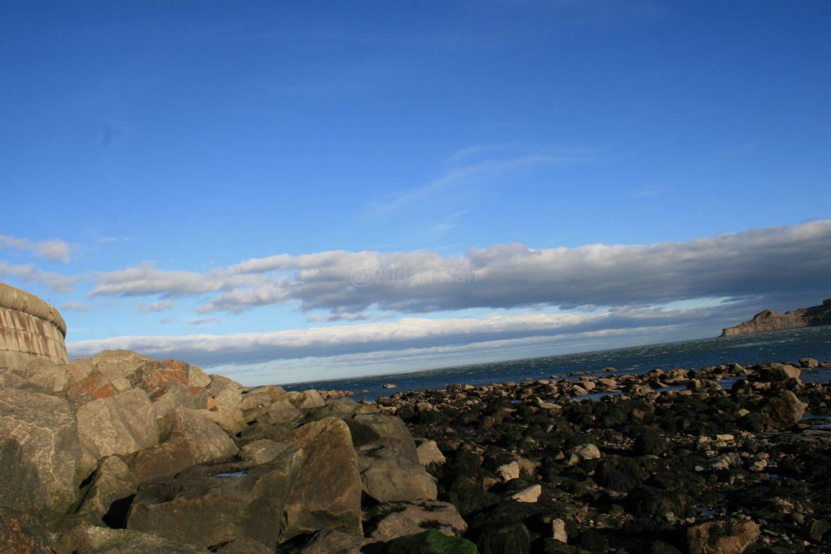
It’s a very beautiful spot but I imagine it would be very busy in the summer. It being November and a windy day, there were hardly any people about – which is nice!
This was a feeble attempt to carry on walking part of the Cleveland Way, which runs down the North Yorkshire Coast from Filey in the south to Saltburn-by-the Sea and then inland to the North York Moors National Park.
Unfortunately I’d caught Covid about four weeks before but with everything booked and I still went to ‘try’. The spirit was willing but the flesh was weak, so I ended up pootling around Staithes, tea and cake and then up the hill to think about walking some of the Cleveland Way south.
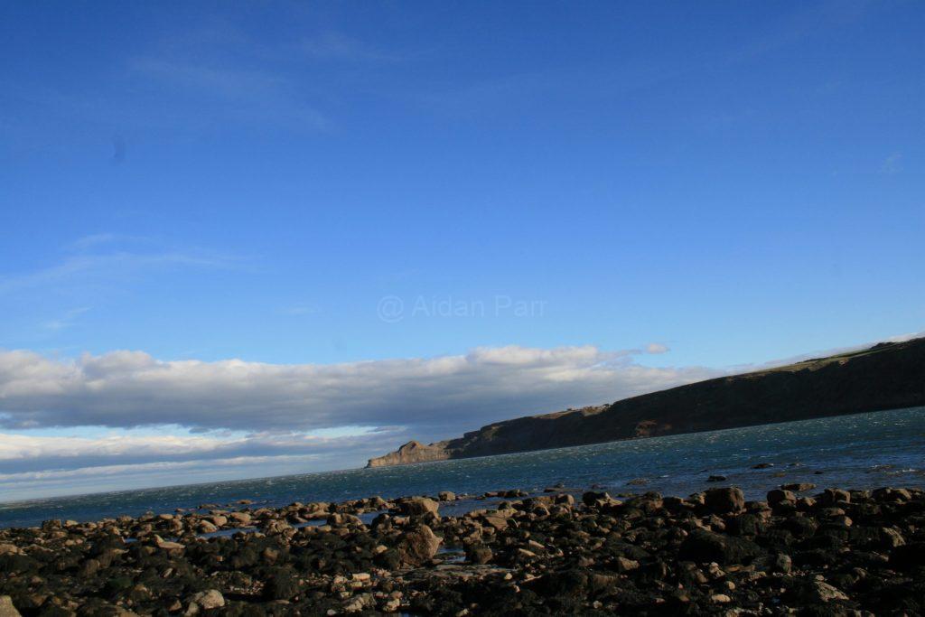
You’ll see from the last video at the end of this post how windy it was and how unwise it would have been to try, so close to the cliff edge.
So, here’s a little bit of Staithes instead…
And up and up that hill…
Once up on the cliff, I ended up hanging on to fence posts as the gusts were so intense and then chickened out. It’s a fabulous view and a proper walk for another day.
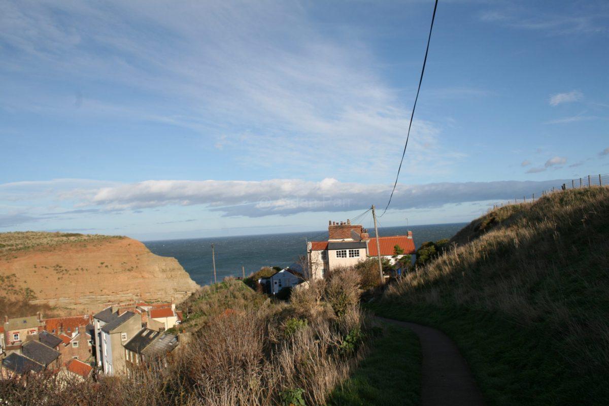
So it was back to the car and across Staithes by back alleys…
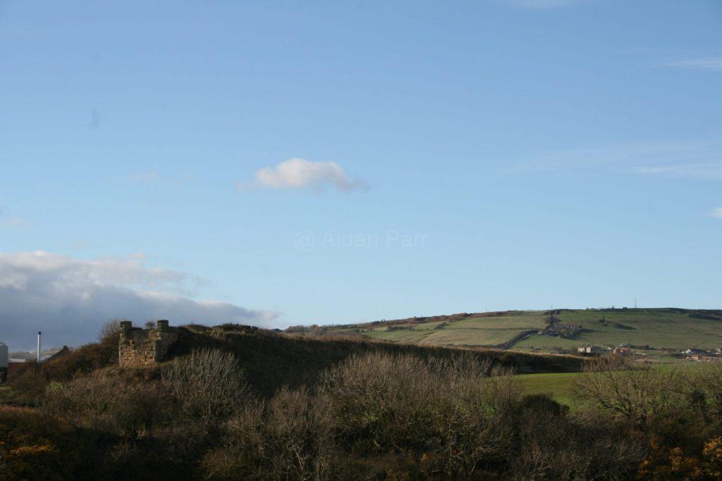
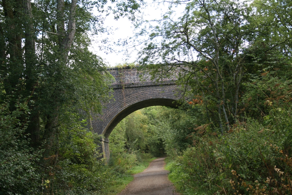
And the only clue that trains once used to run to Staithes: the remains of a railway bridge…
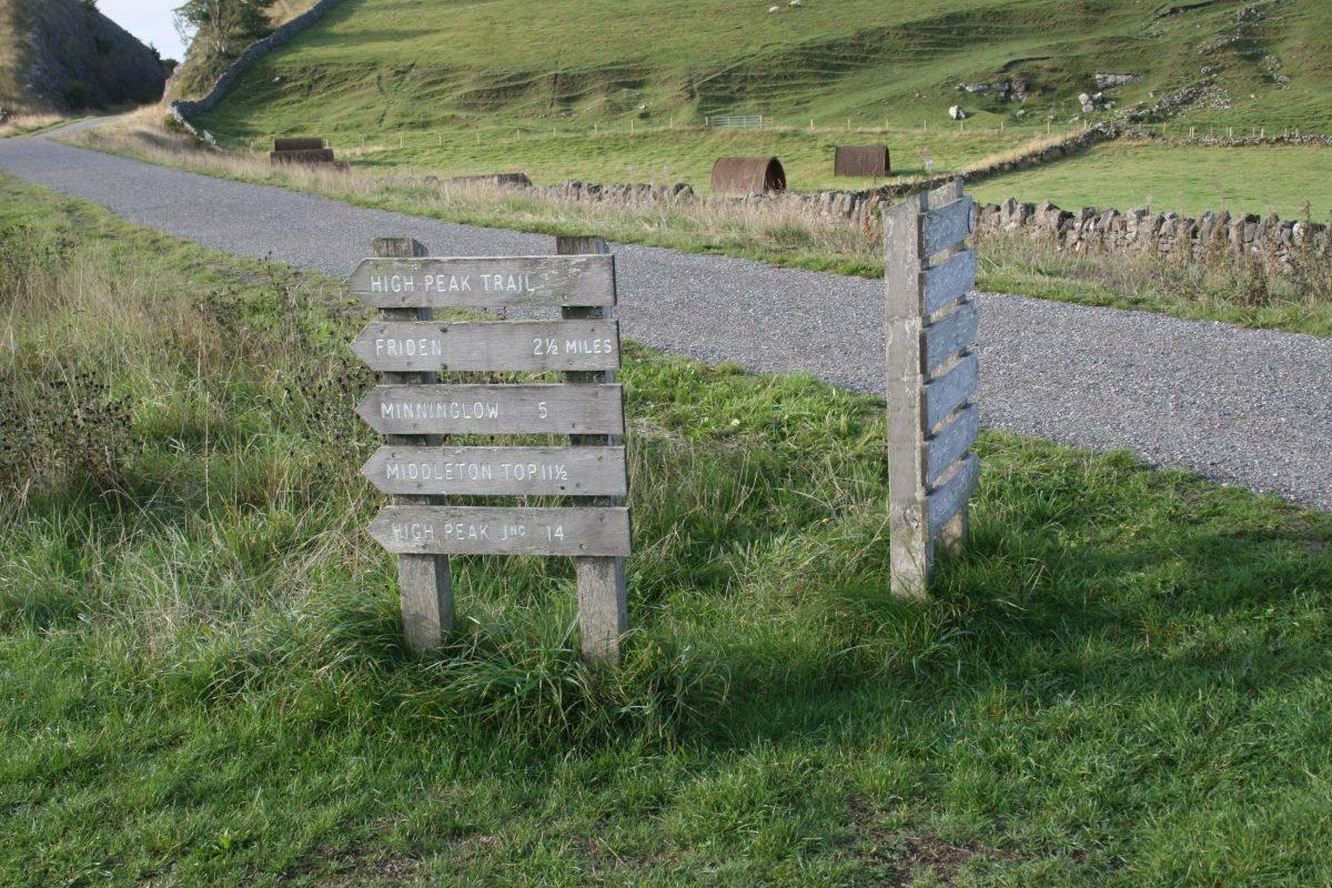
Heading south from Parsley Hey but taking the western High Peak Trail. It’s not as popular in the area as the cuttings are deep and the view isn’t so good. It;s still a tribute to those Victorian engineers who didn’t let anything get in their way…
I walked to Friden, then a short stretch of road walking (which I didn’t like) and then cross country, over the Tissington Trail and then a short field walk to Biggin.
It’s here on the bridge you come across one of the companies that built the High Peak Railway line, Josiah Jessop Esq. The work reuqired to survey and build the Cromford and High Peak Railway finished poor Jose off and he died of ‘over-exertion’.
Continuing south with bridges over deep cuttings until you come out into open fields and those lovely ‘big skies’:
And onward to the former station at Friden.:
Then it was road walking on the A5012 to the main A515 between Ashbourne and Buxton. The roads can be quiet but the cars are very fast. Plus there’s an occasional lorry from the Brickworks at Friden to add to the fun.
You can walk on grass verges and on pathways on the roads but I didn’t enjoy this stretch at all.
Walk on the A515 until you see Stanedge Grange and cross over the road (with care!). Climb over the stone stile to the left, then across country… you’re corralled with fences and barbed wire, so just follow them.
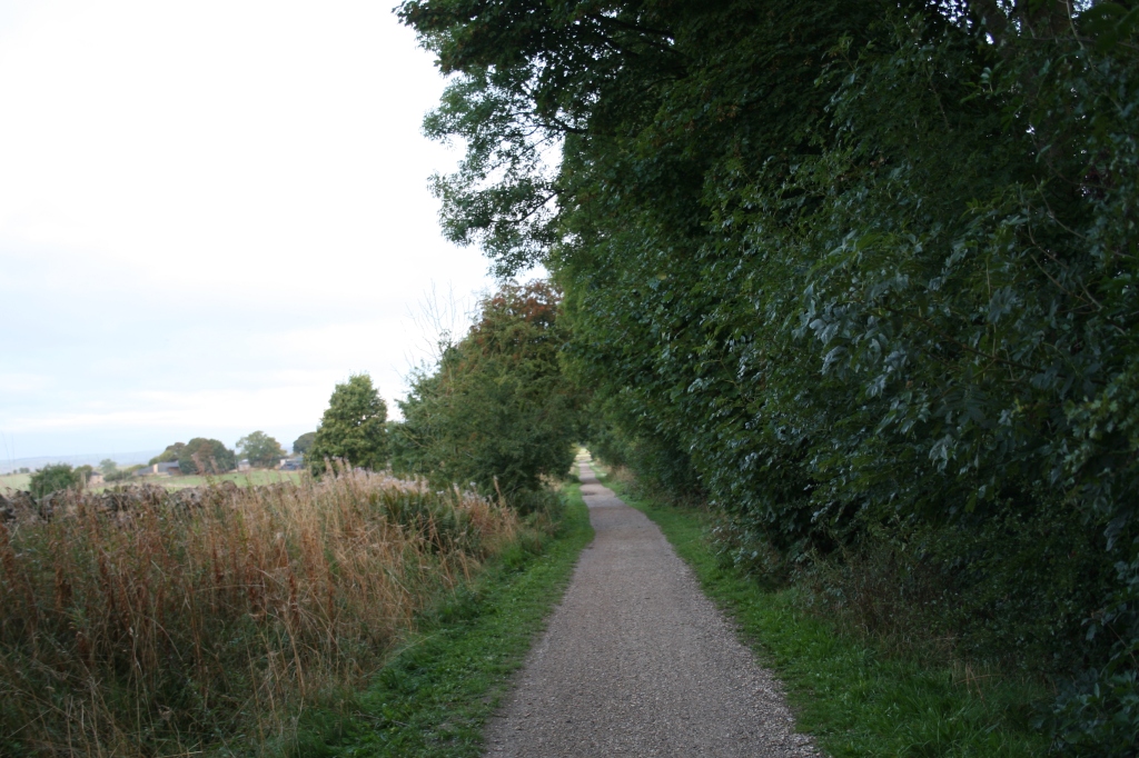
It’s much nicer out into open fields, heading east to the Tissington Trail. You’ll see it across the landscape like a huge stone wall:
walk up the path onto the Tissington Trail and then immediately down on the path on the other side:
It’s a short walk across the fields to Biggin with one last stile before you get to the main road…
It’s not a spectacular walk and the views aren’t as rewarding as other walks I’ve done. I can’t help admiring the huge amount of work done, mostly by hand, to build the Cromford and High Peak Railway.
Do bear in mind that there are other section of the High Peak Trail and other trails to explore (without road walking) that you’ll enjoy!
This is the latest in a group of posts exploring the Tissington Trail. The last one ended at Biggin.
This was another early start, parking outside St. Thomas’ Church in Biggin, just before sunrise. It’s a short walk to the Tissington Trail outside the village.
The early pictures quite ‘dull’ because of the lack of sunlight, particularly in the cuttings, but they d show the different environments: some dark, damp and autumnal and some more exposed that cling on to summer. Almost.
I was quite disappointed to see someone else immediately I got onto the trail. Like a geriatric version of ‘The Terminator’ he followed me for about a mile. A lovely bloke but it was hard to get any pictures or videos without him and his dog being there.
Never mind, he’s got as much right as me (if not more) to enjoy the surroundings with his dog!
As you might already know, the Tissington Trail was a train line from Ashbourne to Buxton (the London and North Western Railway (LNWR) and it closed in 1969. There isn’t much railway paraphernalia left, apart from the bridges and an occasional tribute to the railways of yesteryear…
The walk continued, sometimes looking ahead to the trail and sometimes looking back as the sun began to rise:
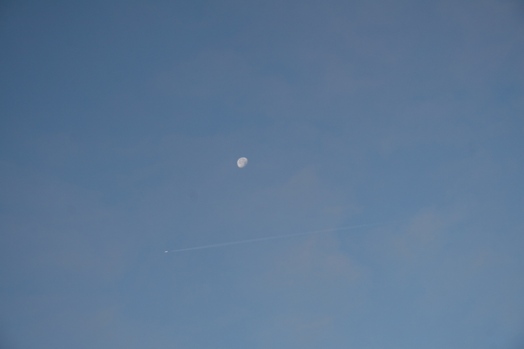
I was delighted to get a shot of an aeroplane crossing the moon. It’s not a great picture but I was so pleased to be able to get it.
Then onwards, but still looking back at the sun coming up:
Some of the cuttings don’t get much sun, particularly first thing in the morning, so they smell very autumnal: of rot and damp. Most plants here have long gone to seed and they plants await winter and a new start next Spring…
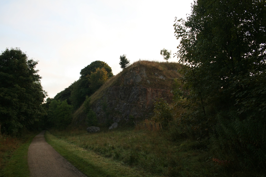
Then you’re suddenly into rocky landscape, blasted by the men who built the railway line.
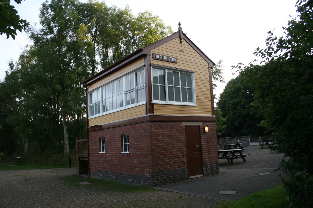
Hartington Station: somewhere to sit and have a break, or avail yourselves of the toilets. Sadly the teashop (part of the signal house) looks empty and is presumably closed down. I was gagging for a mug of tea, too…
My first genuine picture of wildlife, if you can actually see it: a deer grazing. I managed a couple of pictures but it heard the ‘click’ when I changed my camera lens and it was soon gone:
Then it’s off north, continuing on to Parsley Hay: the landscape continuous to be a mixture of of open, pastoral countryside and bleak, rocky cuttings hacked away by manual labour and explosives. Some people may be unaffected, but I found my mood changing between the bright, open and sunny sections and the darker, rocky parts of the trail.
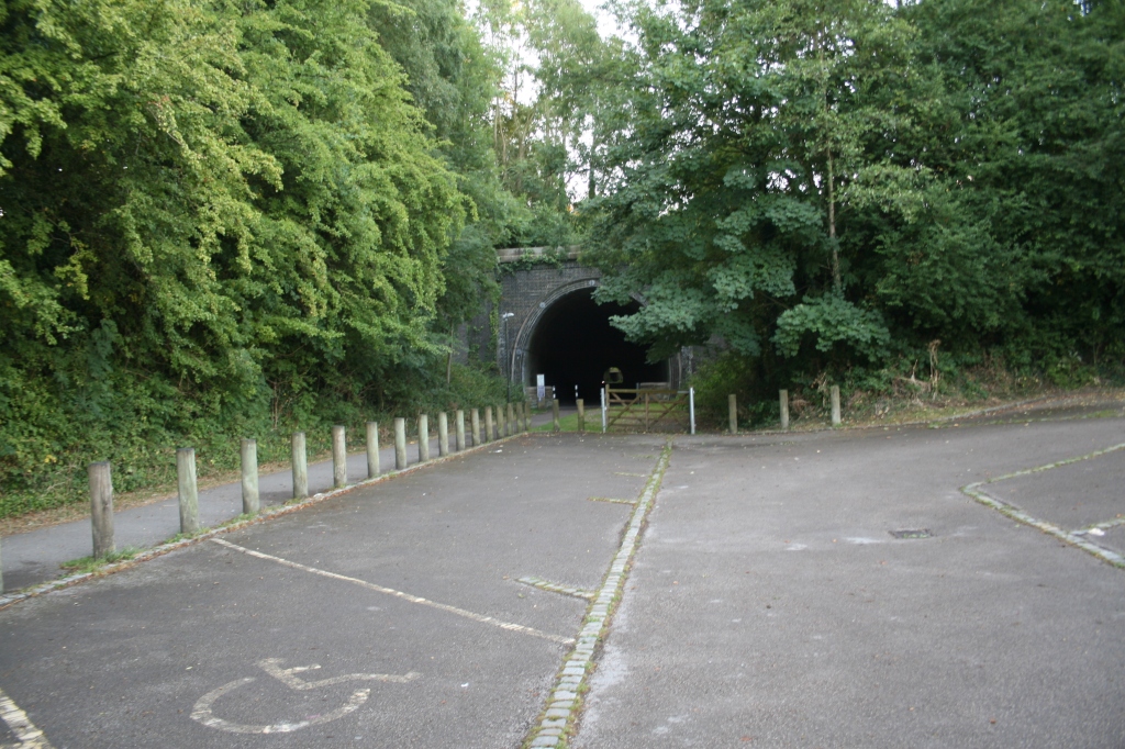
This is an impressive cutting right through the rock leading to open countryside and the former Parsley Hay station. There isn’t much left of it but you can get a tea and something to eat, or hire a bike. Bear in mind these facilities will be closed in the winter.
It’s also where the Tissington Trail meets the High Peak Trail.
I walked back via the High Peak Trail but that’s another post and another website as I’ve run out of storage space again here!
I’ve set up Up Hill and Down Dale Walks Three but it might be a while before I get to add to it….
There’s also a future walk north of Parsley Hay to be done!
You’ll notice the Croatian roundhouse, which was gifted to European Union members by Croatia when they joined the EU in 2013. Sadly, the UK should have been celebrating 50 years of membership a few days ago on the 1st of January 1st 2023, but that’s British politics and a dose of stupidity for you. 😣
It’s not the most exciting of walks but it is peaceful and rural. I started early, around 6.30am, to avoid the school holiday crowds.
The sun was strong from the east as I headed north, up the Tissington Trail to Tissington and a quick wander around Tissington village and Tissington Hall. Needless to say, I wasn’t invited in for tea…
It was much busier with people on the way back, around 10.30am, so if you don’t like crowds, start early.
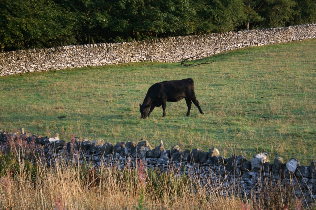
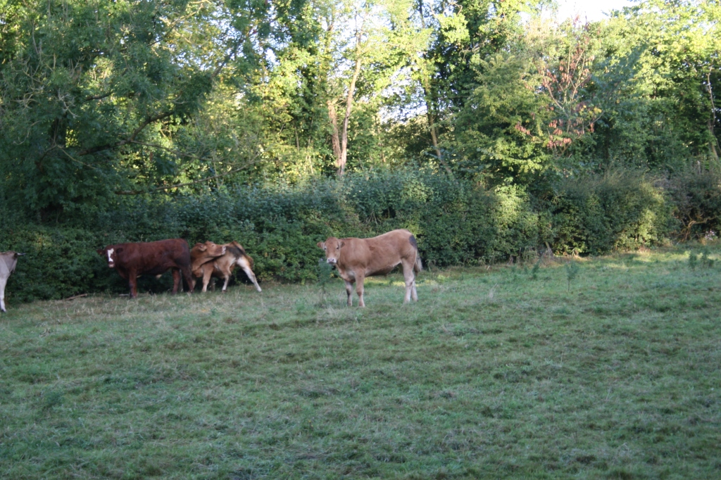
The matriarch was on guard for ‘her’ herd, while the rest of the cows got on with eating:
It was a great day for clouds:
And sheep…
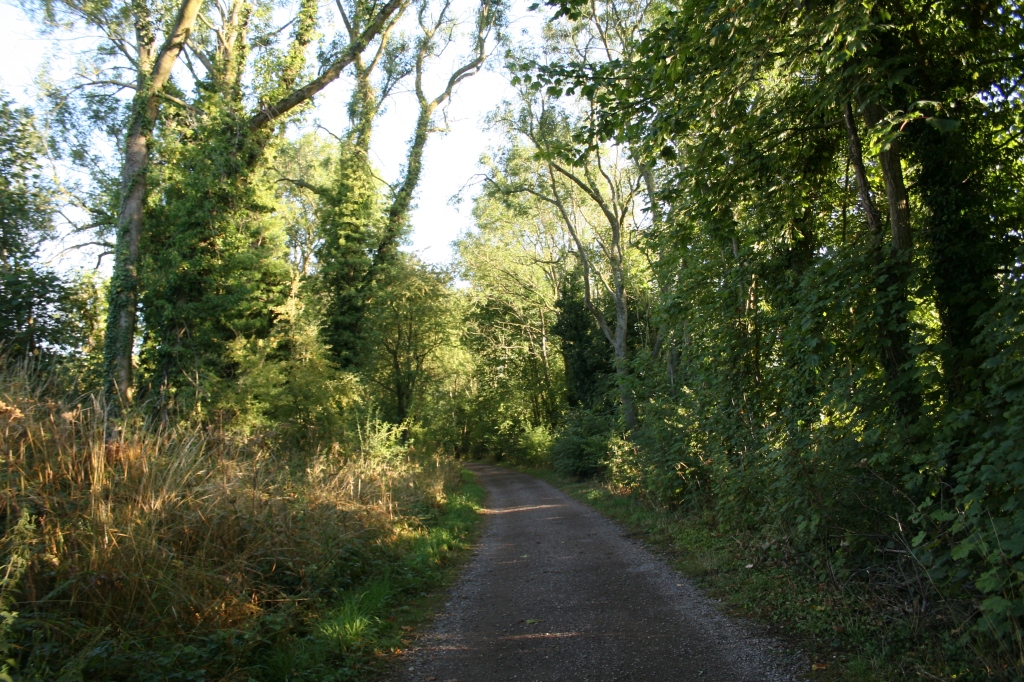
I love the bridges that cross the trail as it begins to rise up:
Dew on the grass. Despite the dry weather, there’s still plenty of moisture here as it’s shaded.
Eventually arriving at Tissington for a well-deserved sit down! There’s well-kept toilets and also an accessible toilet. The cafe opens at 10am.
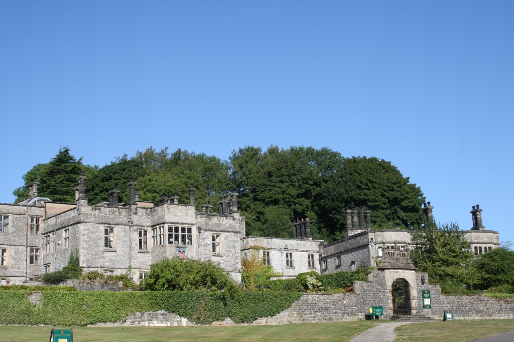
Then a quick wander around Tissington village. Most of the shops don’t open until 10am and I arrived too early. Tissington Hall is impressive, dating from 1605.
Who can resist taking pictures of budleia?
Then is was back down south to Ashbourne. It wasn’t madly busy but there were enough people about to make it less enjoyable than the outward walk.
It’s about 8 to 8.5 miles. Recommended. I plan to walk the next section of the Tissington Trail from Tissington to Alsop, where the trail rises up into the Peak District properly. There’s less trees and the views are fantastic.
Castleton is a village in Derbyshire and is part of the High Peak. It’s very busy tourist trap in the Spring and Summer and parking can be difficult. That’s why I set off very early from home and arrived at 6.30am for the walk.
I headed north from the village and uphill to The Great Ridge. It’s very steep and as you’ll see, can be a challenge to navigate in parts: rocky, muddy and sometimes with running water. Stout walking boots with good ankle support are recommended.
The ascent took me around 90 minutes including breaks and time to enjoy the scenery as I got higher. Don’t be afraid to plonk yourself down on a handy boulder for a breather – you’ll enjoy yourself much more.
There are a lot of sheep with lambs this time of year…
Plus a supremely disinterested cat:
Then it’s onwards and a lot of upwards:
A breather…
And some more upwards…
The view from the Great Ridge is worth the ascent, though.
Then it’s off west to Mam Tor with some more upwards but this time with more gentle inclines.
The day began to brighten!
Then you’re at Mam Tor, the ‘mother hill’. The monument is at the site of a bronze age fort. It allows another great view of Castleton on one side and Edale on the other.
Then it’s all downhill:
Personally I found the entrance to the Blue John Cavern rather uninteresting and at £15 to get in, unlikely. I did enjoy a cup of tea while admiring Mam Tor. Shame about the camper van?
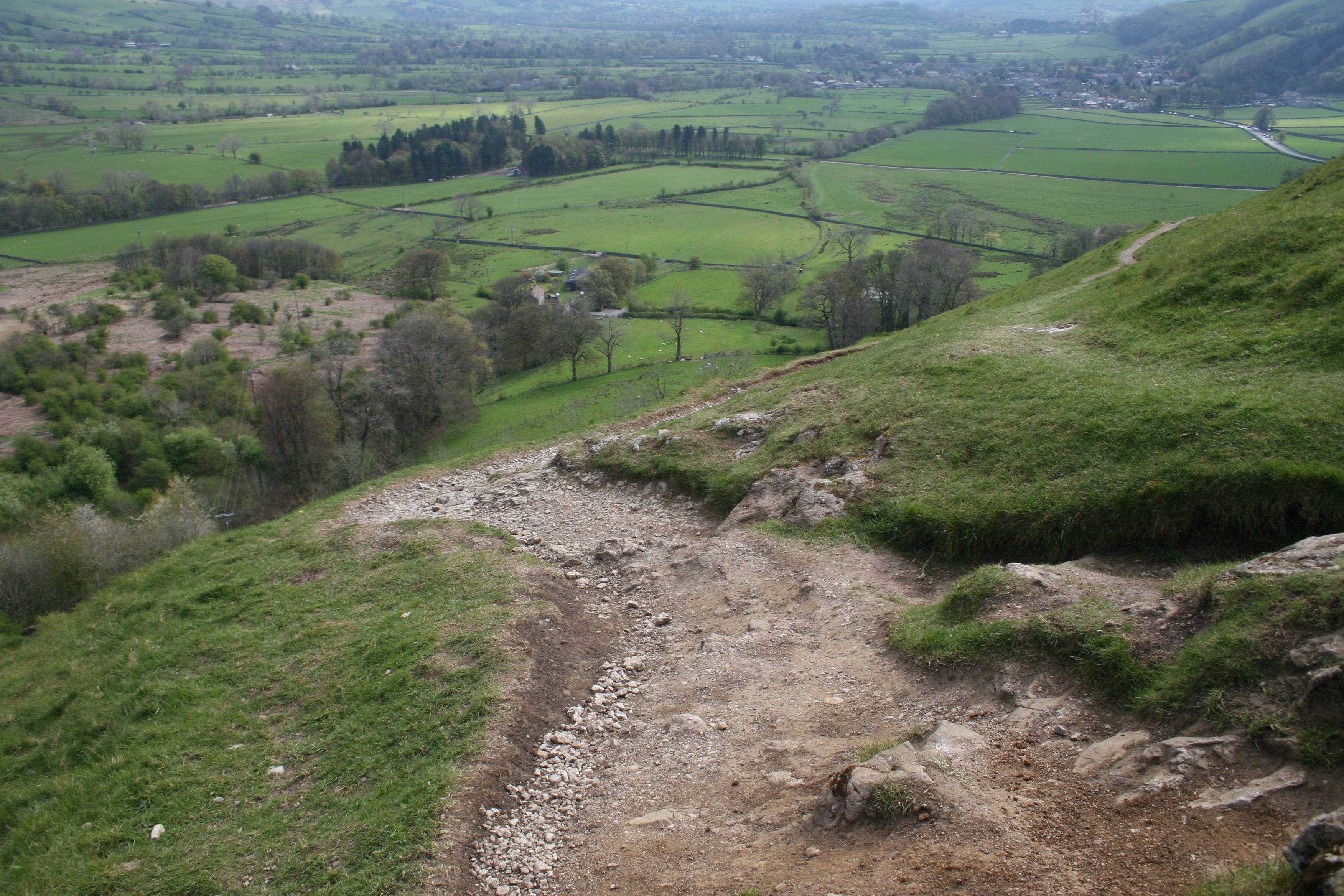
Downwards over the brow of the hill. The walk is a little rough with fine limestone and it’s easy to slip while enjoying the view.
A better view of Mam Tor. You can see where the hillside has repeatedly fallen away.
More sheep and lambs:
And a look at Winnat’s Pass while heading back to heading back to Castleton. It’s spectacular to drive though and the picture and video hardly does it justice. Some hang-gliders too!
This is a trail using the remnants of the former Cromford and High Peak Railway which ran from Cromford Canal, south of Matlock, to Parsley Hey, where it meets the Tissington Trail heading north.
Although it looks bucolic, it’s actually a very industrialised landscape built for the Industrial Revolution and the transport of raw and finished goods. The whole area is pocked-marked by small ancient quarries and their huge modern equivalents.
It is a challenging walk at the beginning because of the inclines, some of them 1 in 8. For an unfit walker, it’s a gasp a minute!
The struggle upwards is worth it for the view…
Then onwards and upwards. I love the archway of the bridge over the trail.
Another lovely view…
And then back again to High Peak Junction…
The rock formations, blasted by explosives and hacked at by hand to create the train line are fascinating.
The first walk of 2022 with a friend. The pictures are all from my phone camera and not the trusty but antediluvian Canon 30D, so not as good quality.
Derwent Reservoir was formed by damming the river Derwent at the village of Derwent and was completed in 1916. The village is now underwater but apparently the ruins can be seen if there is an exceptionally dry summer.
You can walk around the whole reservoir – it’s around 6 miles but a bit ‘up and down’.
The Dam itself is very impressive!
These pictures and videos are @Aidan Parr 2022, so please ask permission if you want to use them. I’ll probably say ‘yes’!