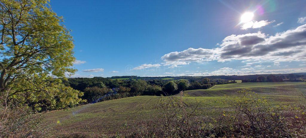
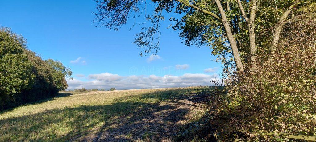
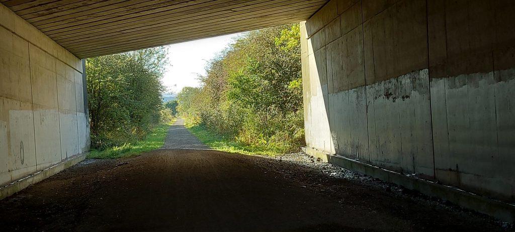
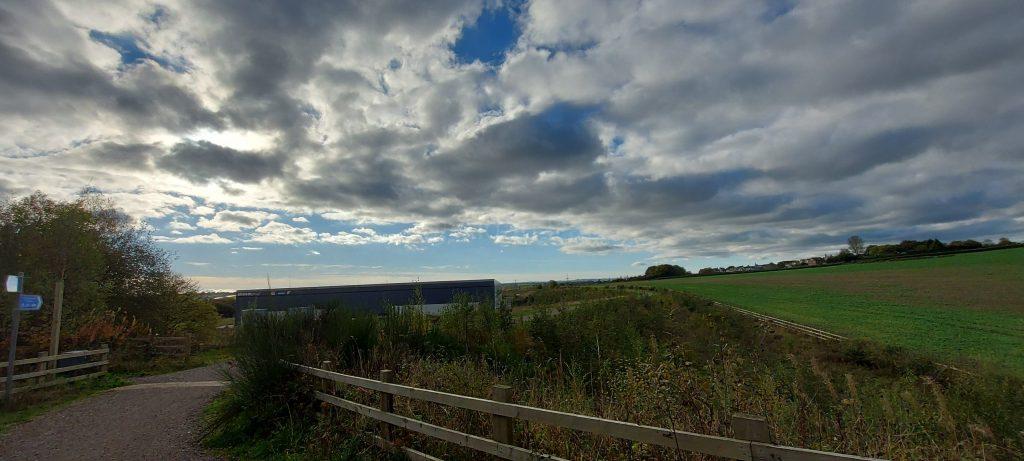
This was my second walk around Derwent Reservoir. The first was in January 2022 with a friend, so the opportunity to take pictures is limited and when I’m on my own, I can get there early, avoid the traffic and most importantly, too many people.
It had been a dry summer so the reservoir was low and you don’t get that impressive cascade of water over the dam as I enjoyed on the previous trip. It was still worth being there, although my fitness wasn’t great due to knee problems and other joys of life.
It was a lush, humid and warm summer morning with strong sunlight…
Bring insect repellent!
The dam is an impressive piece of construction but it’s too big to take in at ground level. So you have to climb…
Then a lot more climbing…
And some more climbing but the views are the reward:
At this point I was pretty tired and it was very hot so I went back down hill.
This is the last of the three circular walks starting in Biggin in Derbyshire. The other two are here and here.
It’s a beautiful area to walk but especially rewarding in the Spring, my favourite time of year. Starting in Biggin and then over the hills or moors to the River Dove – up and down dale:
Then downhill to the River Dove:
Heading north along the Dove…
Then leaving the River to head to Hartington:
A well deserved pot of tea and Victoria sponge to replenish the tissues… it was in Hartington Farm Shop & Cafe if you’re interested.
Then through Hartington, passing the Youth Hostel and heading south-east back to Biggin. Lots of hills again…
I’d enjoyed walking from Biggin to Biggin Dale to the River Dove and then back to Biggin via the Tissington Trail (link here) so much, I decided to walk from Biggin to the River Dove and then north along the River Dove and then across the moors back to Biggin.
It’s a lovely walk with varied landscapes and at a perfcet time of year with lambs and goslings and Spring flowers about.
Down the beautiful BIggin Dale…
Then along the River Dove:
Gosling and lambs!
More of the Dove…
Then leaving the Dove and heading west back to Biggin. My favourite uphill walk – if you like that sort of thing? I love that view looking back to the river…
Up and up:
At this point, enbarrassingly, my camera battery ran out. Sorry!
There’s another post coming up of walking from Biggin back to the Dove and then north to Hartington, which I will try not to take eighteen months to post.
I forgot to add the videos! One fo the lambs by the Dove and another of the view across the moores to Biggin:
This was a circular walk starting in the village of Biggin in the Peak District, through Biggin Dale to the River Dove, south by the river and then cross country to the Tissington Trail and then north, finally cross-country west back to Biggin.
Here’s a map of the route and GPX file you can download – click on more details to get it:
[Waymark map_id=”2496″]
I parked opposite The Waterloo Inn facing west. Then it’s a short road walk to Biggin Dale – watch out for some traffic and some sharp bends, although it’s mostly quiet.
Then you can see the River Dove in the distance…
It’s a lovely walk down the river heading south:
Until you get to this cottage, if a cottage is what it is? I then turned west to get to the Tissington Trail… it’s well signposted!
Then a fabulous cross-country wal, with decent paths:
Then it’s simply up the ramp and walk north up the Tissington Trail until you get to the exit for Biggin itself.
I actually chose to walk across fields back to Biggin but please be wary, especially if there are cows with calves. They can be aggressive if they think you are too near their babies!
I foolishly didn’t bring a spare battery for my camera, so you’ll have to take the rest of the walk yourself?
I thoroughly recommend a walk through Biggin Dale and alongside the Rover Dove.
As you may have noticed, I’ve started to use an Image Slider for pictures. It’s easier for me to do than adding lots and lots of individual pictures and it gives a break between sections of the walk. Feedback about how useful it is for readers is welcome…
This was fantastic walk from Sewerby around the coast and heading to Flamborough Head by the England Coastal Path. I was lucky with the weather but the going was hard work as you head north and the trail turns to heavy, wet mud. The path is mainly turf, or quagmire, dependent on the local drainage.
A spell of dry weather and no more rain from storms like Storm Ciarán (around the time of the walk) would help!
I parked next to the Methodist Church in Sewerby. Foolishly, the council close the public car park in the winter and it isn’t accessible until March next year. Expect to be sniffed at by lots of well-behaved dogs but they, and their owners soon fall behind as you head north.
As seems to be typical walking off the North Sea, thye day started grim and obvercast. It still looks beautiful in my eyes, but it was pleasant to see blue skies gradually appear, miraculously as forecast…
It’s another beautiful spot with large limestone rocks rounded by the sea.
Ascending again:
At this point it has become a beautiful day with big blue skies and clouds (my favourite)…
Unfortunately the path starts to turn into mud at this stage and walking is hard work!
I battled on, enjoying scenery but not the footing:
This is where I stopped and turned back. The ground was seriously muddy and claggy which saps energy. Ahead was a sharp incline that I would have had to slither down on my backside with little chance of getting back up it!
The last picture picture before turning back:
I walked to Flamborough village and caught the bus back to Sewerby. Timetable here.
It’s a beautiful place but the path is walkable dependent on the weather. November 2023 had a shocking amnount of rain and named storms, so it’s no surprise the ground was in such a state. It woulkd be nice to go back in drier conditions.
This was a very short walk at around three miles. I haven’t had time to do much this year, what with one thing and another.
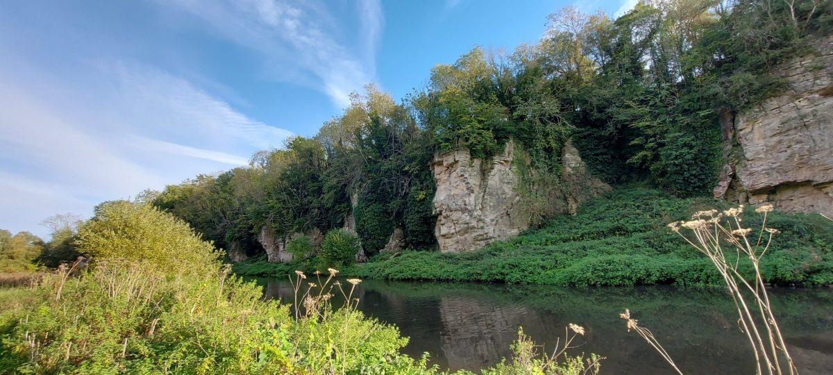
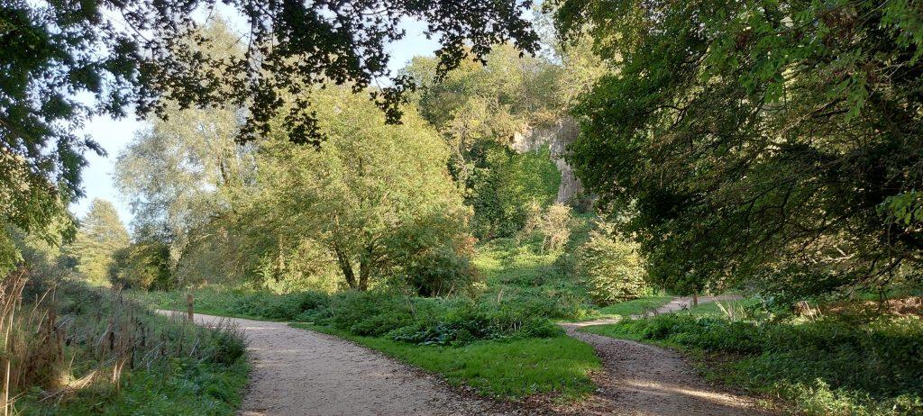
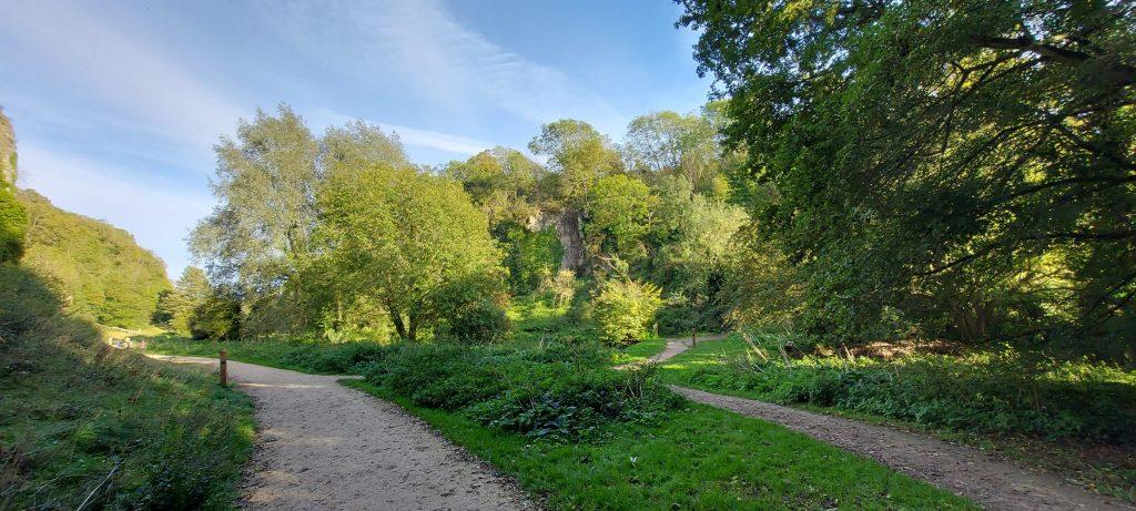
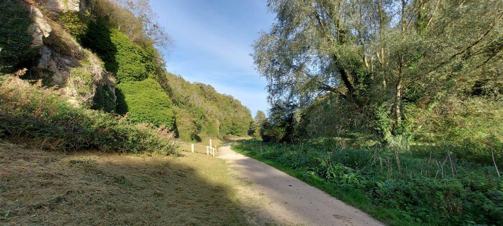
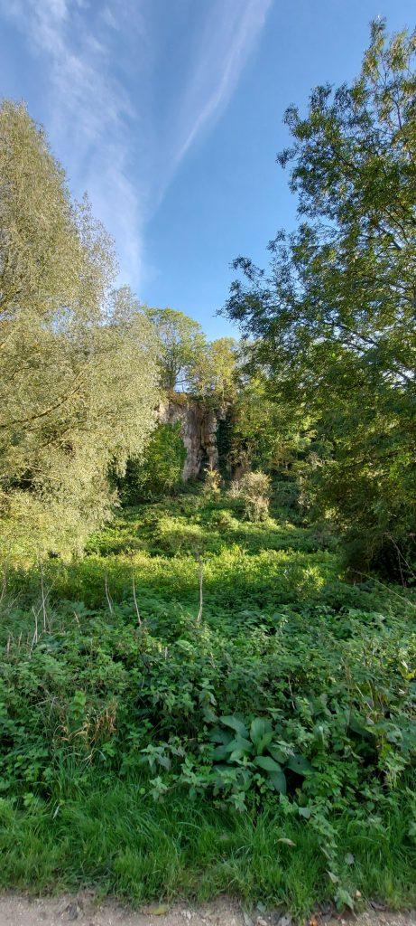
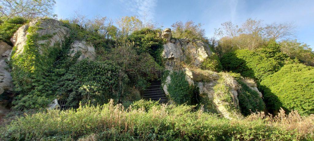
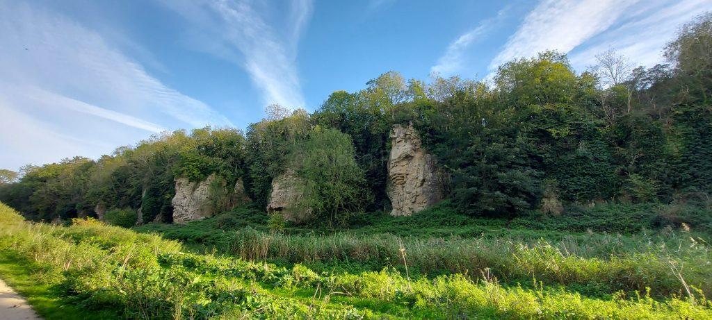
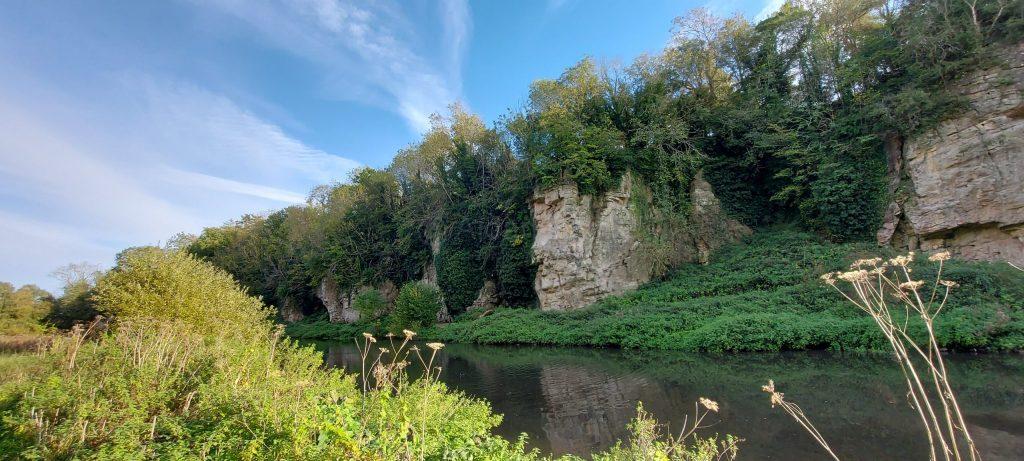
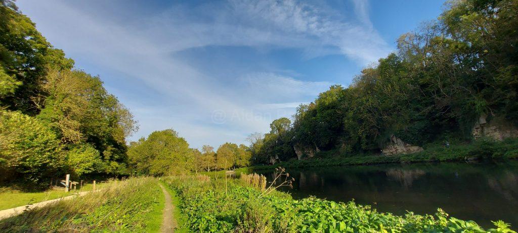
Creswell Crags is a site of special scientific interest. People (in one shape or another) have been visiting for 50,000 years, starting with Neanderthals in the last Ice Age. You can find a lot more about the area here, particularly about the cave art created by its residents.
You can get to Creswell Crags by train to Creswell (Robin Hood Line) and a twenty minute walk or by car: it’s very well sign-posted from Junction 30 of the M1.
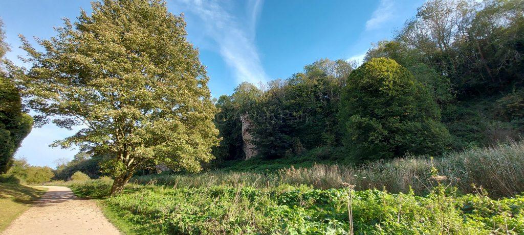
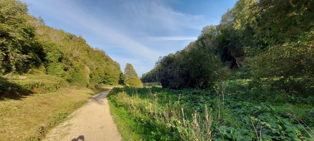
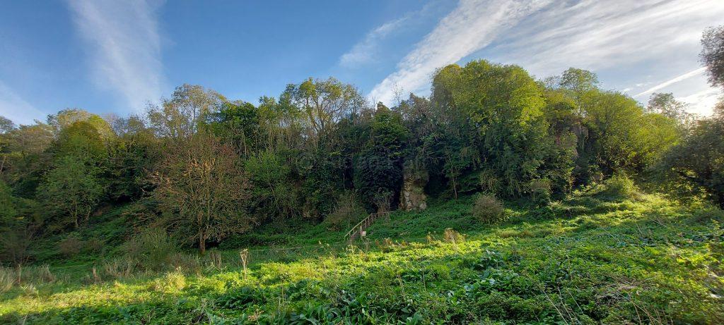
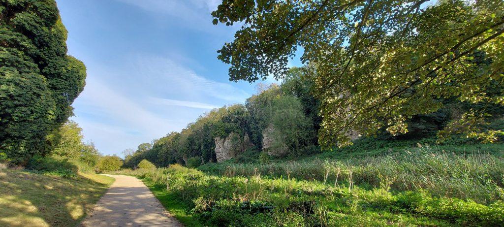
It’s also a lovely place to go and wander around and I was lucky that it was an unseasonably warm and sunny day. I haven’t done the place any justice and I’ll have to go back some time to take some proper photos.
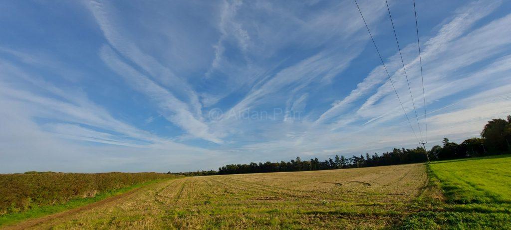
Then a view detour to admire the skies near the Crags…
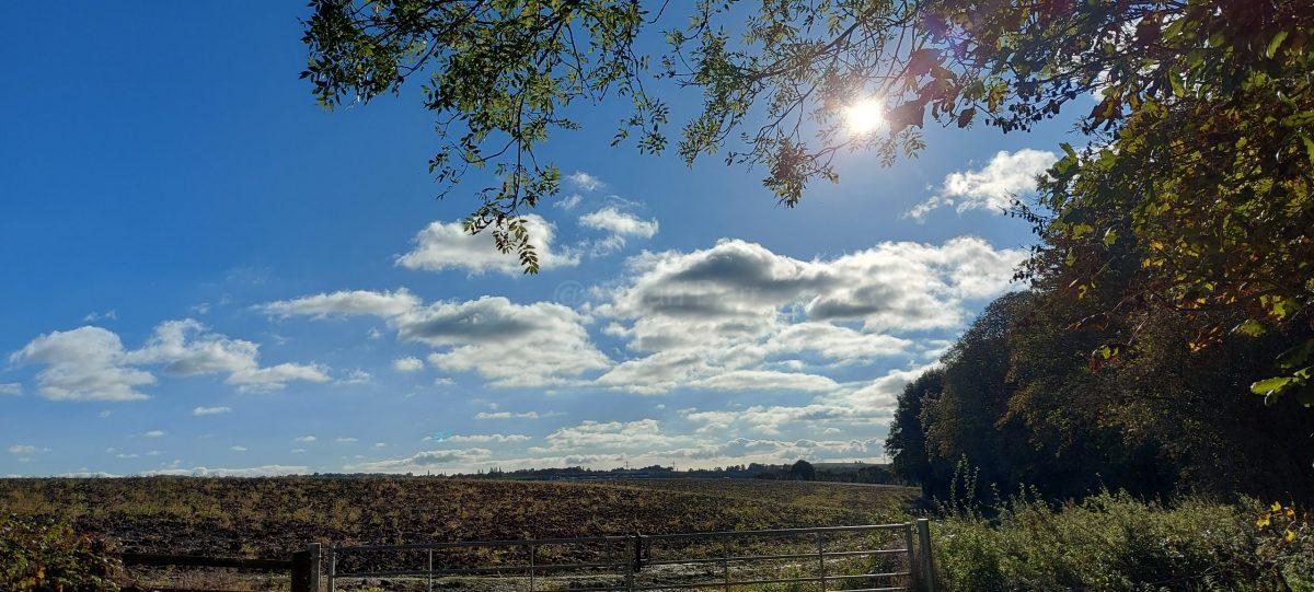
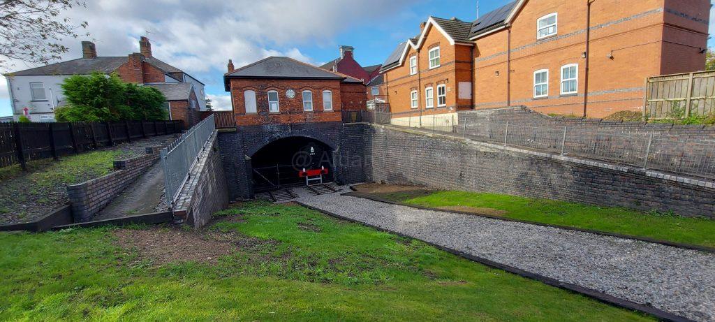
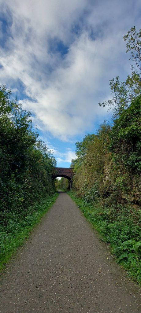
This was a continuation of the walk from Creswell to Clowne on the Clowne Greenway, a former railway line. It was a lucky day, with sunny big blue skies and clouds formations, walking from Clowne to Markham Vale.
If you want a better view of a picture, right click on it and select ‘Open Image in New Tab’.
You can park in the free car park next to the Nag’s Head pub in Clowne and you’re right next to the Greenway:
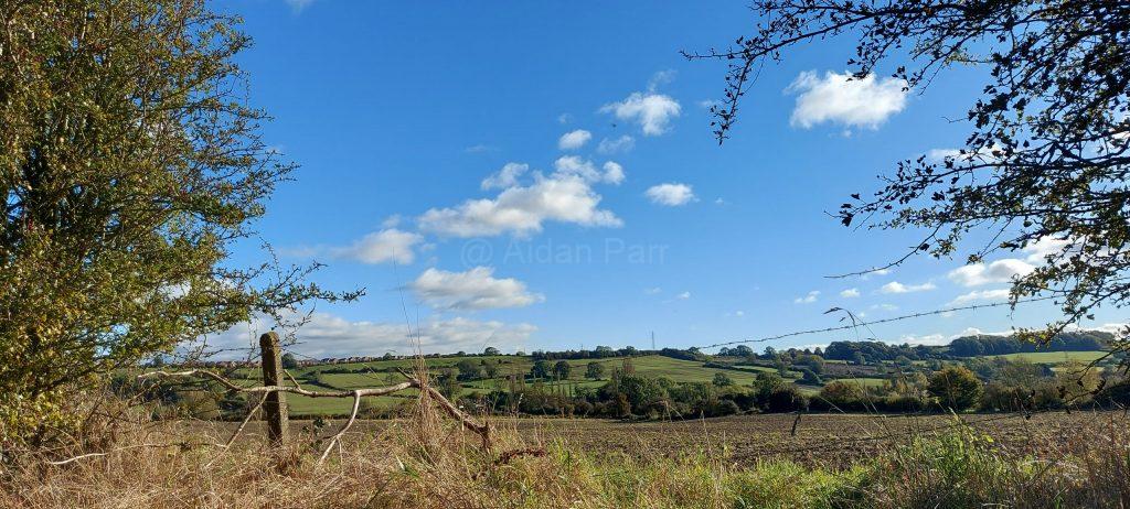
Unlike the Creswell to Clowne section of the Greenway, this part does gradually open out onto countryside which makes it a little more interesting.
Then it’s onwards to the joy of the the countryside but the gradual roar of traffic on the M1 motorway:
Until it really is loud!
And finally to Markham Vale where I turned back. The whole area has been transformed into storage units because of its proximity to the motorway. I’m not so keen on pavement walking with cars and lorries roaring by.
There are lots of other walks west of Markham Vale, heading south to Chesterfield and north to the outskirts of Sheffield and it’s also close to the Trans-Pennine Way, which I’ll explore at a later date.
This was a very short walk at around three miles. I haven’t had time to do much this year, what with one thing and another.
Creswell Crags is a site of special scientific interest. People (in one shape or another) have been visiting for 50,000 years, starting with Neanderthals in the last Ice Age. You can find a lot more about the area here, particularly about the cave art created by its residents.
You can get to Creswell Crags by train to Creswell (Robin Hood Line) and a twenty minute walk or by car: it’s very well sign-posted from Junction 30 of the M1.
It’s also a lovely place to go and wander around and I was lucky that it was an unseasonably warm and sunny day. I haven’t done the place any justice and I’ll have to go back some time to take some proper photos.