
We’re at Patching’s Artists, Makers and Fine Foods (AMFF) Market on Sunday 19th May 2024. 10am to 3pm. Oxton Rd, Calverton, Nottingham NG14 6NU
We’ll have our usual mixture of greeting cards, art, photography and prints!


We’re at Patching’s Artists, Makers and Fine Foods (AMFF) Market on Sunday 19th May 2024. 10am to 3pm. Oxton Rd, Calverton, Nottingham NG14 6NU
We’ll have our usual mixture of greeting cards, art, photography and prints!
We’re back at the Vegan & Ethical Market on Saturday 18th May 2024 in the Market Place in Newark-on-Trent NG24 1DU.
We’ll have greeting cards, prints, art and notebooks but also some prints framed and mounted:

Greeting cards:


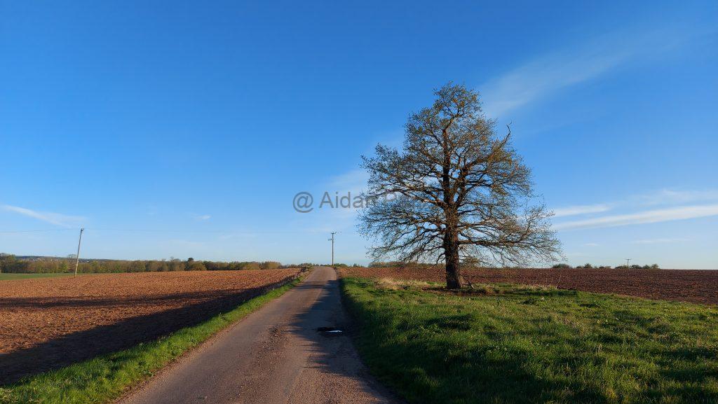
This was fantastic walk from Sewerby around the coast and heading to Flamborough Head by the England Coastal Path. I was lucky with the weather but the going was hard work as you head north and the trail turns to heavy, wet mud. The path is mainly turf, or quagmire, dependent on the local drainage.
A spell of dry weather and no more rain from storms like Storm Ciarán (around the time of the walk) would help!
I parked next to the Methodist Church in Sewerby. Foolishly, the council close the public car park in the winter and it isn’t accessible until March next year. Expect to be sniffed at by lots of well-behaved dogs but they, and their owners soon fall behind as you head north.
As seems to be typical walking off the North Sea, thye day started grim and obvercast. It still looks beautiful in my eyes, but it was pleasant to see blue skies gradually appear, miraculously as forecast…


The approach to Danes Dyke Beach:


It’s an beach full of chalk cliffs and the sea has rounded the chalk stones into many different sized ‘egg’ shapes.


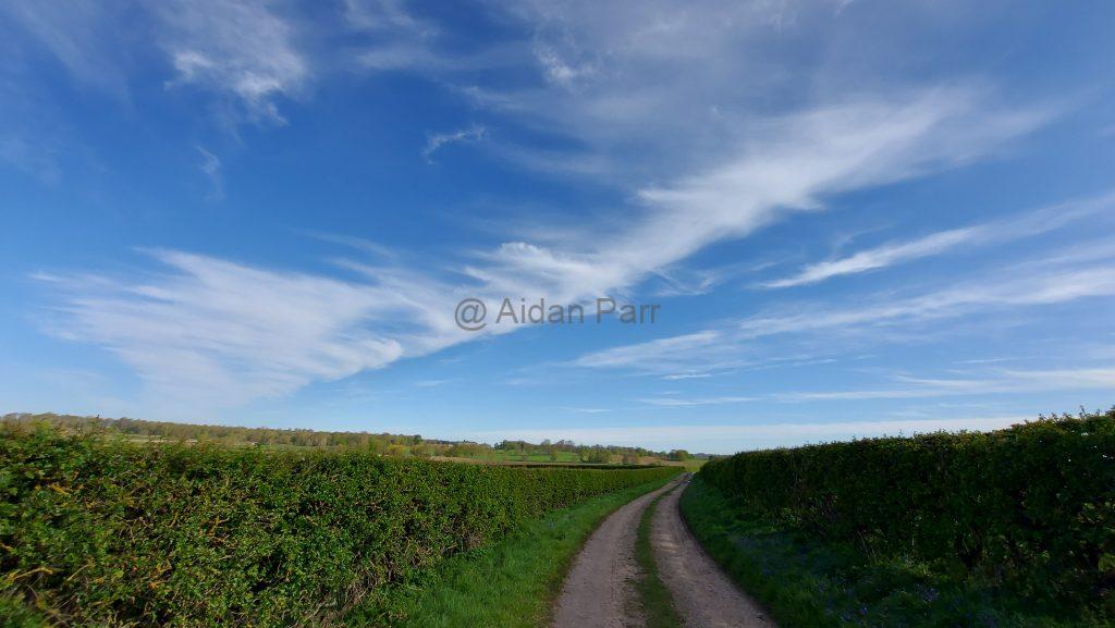
Then it’s up and steps (yet again…) but the day was distinctly improving with blue skies and white clouds slowly appearing:


And just about to spot South Landing Beach in the distance:


It’s another beautiful spot with large limestone rocks rounded by the sea.


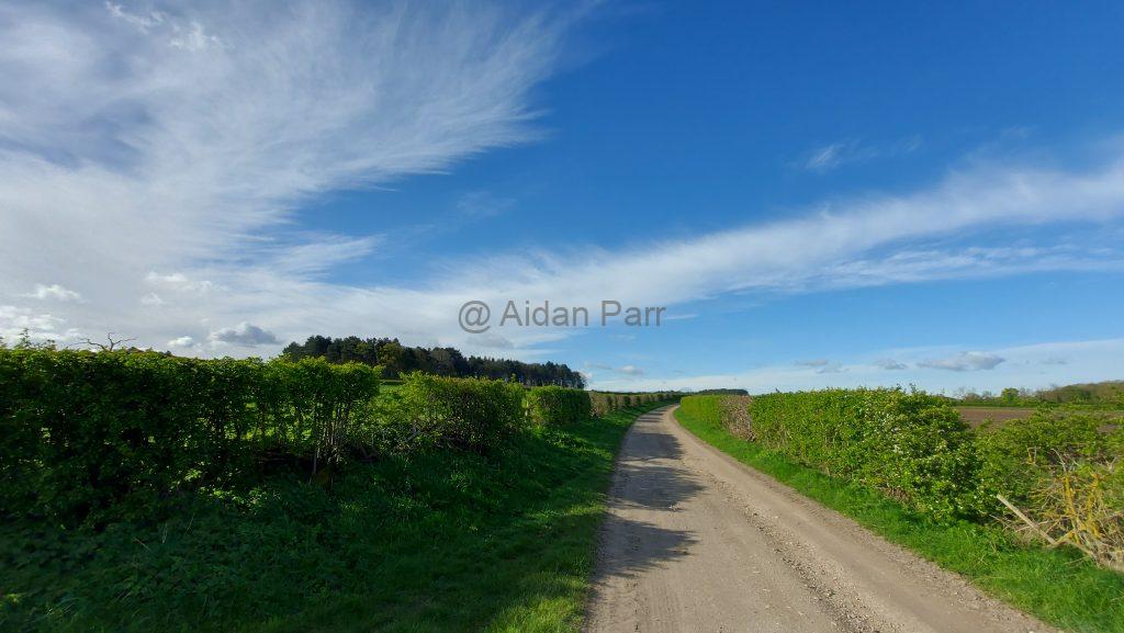
Ascending again:

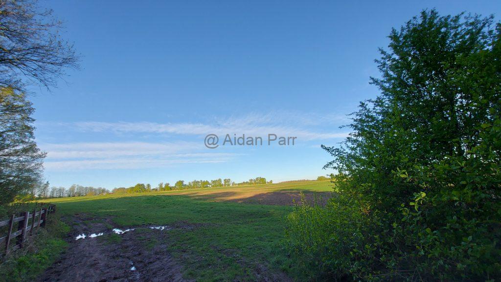
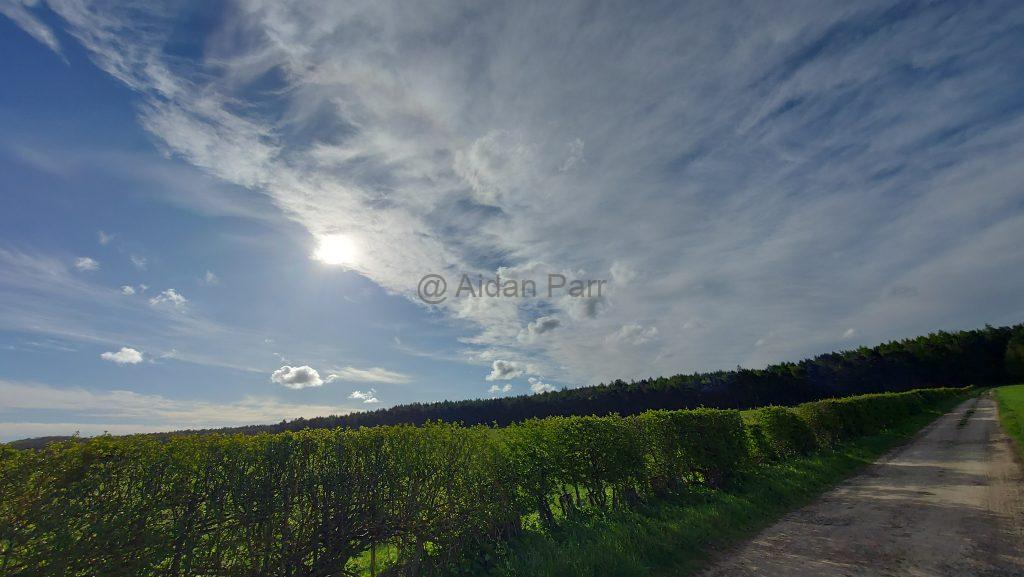
At this point it has become a beautiful day with big blue skies and clouds (my favourite)…


Unfortunately the path starts to turn into mud at this stage and walking is hard work!

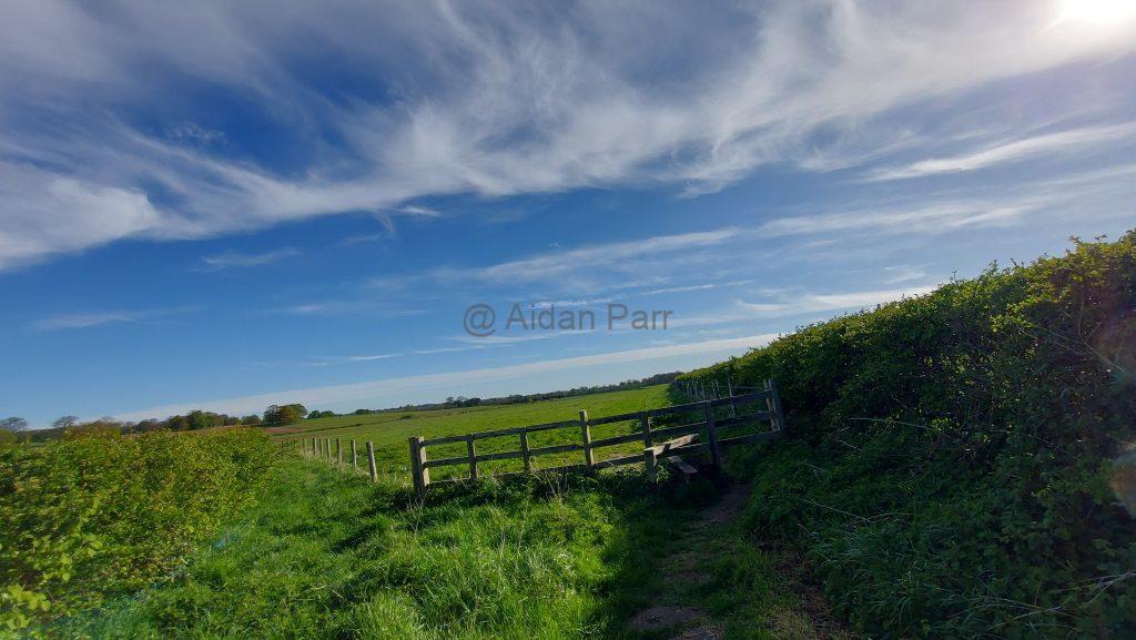
I battled on, enjoying scenery but not the footing:


This is where I stopped and turned back. The ground was seriously muddy and claggy which saps energy. Ahead was a sharp incline that I would have had to slither down on my backside with little chance of getting back up it!
The last picture picture before turning back:

I walked to Flamborough village and caught the bus back to Sewerby. Timetable here.
It’s a beautiful place but the path is walkable dependent on the weather. November 2023 had a shocking amnount of rain and named storms, so it’s no surprise the ground was in such a state. It woulkd be nice to go back in drier conditions.
And lastly, some videos of the walk:
We’re back at The Garage Chilwell Nottingham NG9 4AJ on Sunday 12th May 2024 with unique art, prints, greeting cards and notebooks inspired by the natural world.
The market runs from 10am to 2pm. Get there by tram, bus or by car!
We’re happy to have some restocks of our most popular cards!


And we’re also at SBFest 2024 on Sunday 5th May 2024. It’s on the Nottingham University Campus, College Road, Sutton Bonington LE12 5RD.
3pm until 11pm.
We’ll have art, photography, prints, greeting cards and a couple of books of poetry and short stories!


We’re at Lakeside Village Outlet Shopping – Doncaster on Saturday 4th May 2024. It’s accessible through Doncaster or from the M18.
9am to 5pm. We’ll be outside the ‘Baggage Factory’.
We’ll have art, photography, prints and greeting cards. Plus a couple of books…


And we’re also at Papplewick & Linby Village Hall NG15 8FB on Sunday 28th April 2024 as part of Artists Makers & Fine Foods Market. 10am to 2pm.


We’re also at West Bridgford Farmers’ Market on Saturday 27th April 2024. 8.30am to 1.30pm.
It takes place on The Croquet Lawn, Central Avenue, West Bridgford, Nottingham NG2 6AT
We’ll have art, photography, prints, frames, greeting cards and notebooks celebrating nature, wildlife, landscape and seascape.
We’re back for the last event of the academic year at Brackenhurst Campus – Nottingham Trent University, near Southwell NG25 0QF for Brackfest, on Friday 26th April 2024 from midday to 6pm.
We’ll have cards, art, prints and notebooks from Jane Cornwell Studio and Ali Chappell-Bates as well as our own greeting cards and prints!


This was a lovely walk from Creswell Crags (which I’m very fond of) to the centre of Worksop, going through the Welbeck Estate. It’s a mixture of forest, farmland and some beautiful wild sections.
Creswell Crags is easily accessible from the M1 Motorway at Junction 30 – follow the signs for ‘Creswell Crags’ and you can’t go wrong. Creswell Railway station if you fancy the train or the no. 77 bus between Chesterfield and Worksop.
Try the Traveline website for further information about bus and train options.
I got there fairly early as the forecast was very favourable. We’ve had utterly miserable weather with rain, strong winds and even thunder and lightning the past couple of weeks. Those slate grey skies are not a delight!
At 6am the sun is just coming up and it’s a treat to see the sun move so quickly into the heavens…
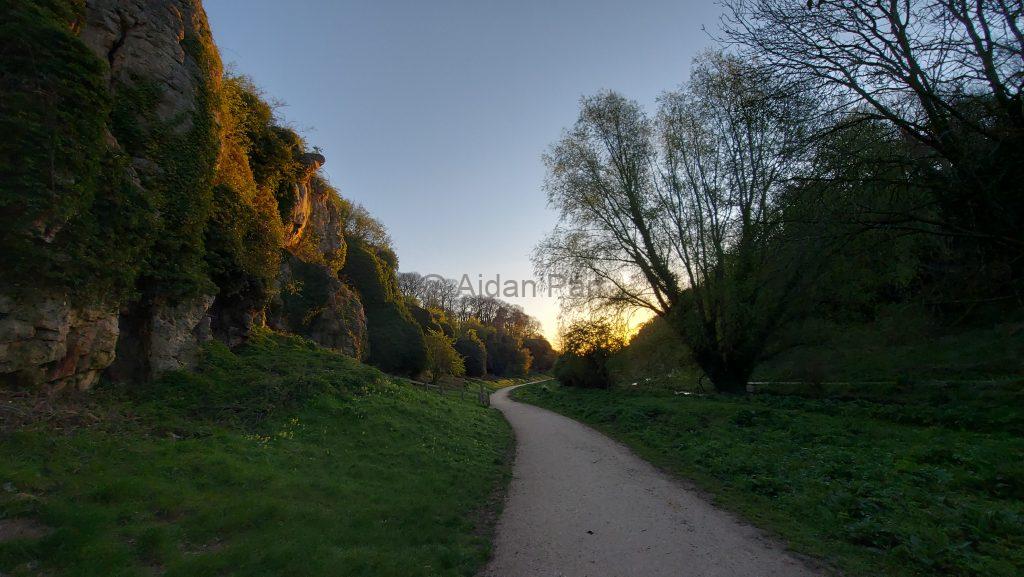
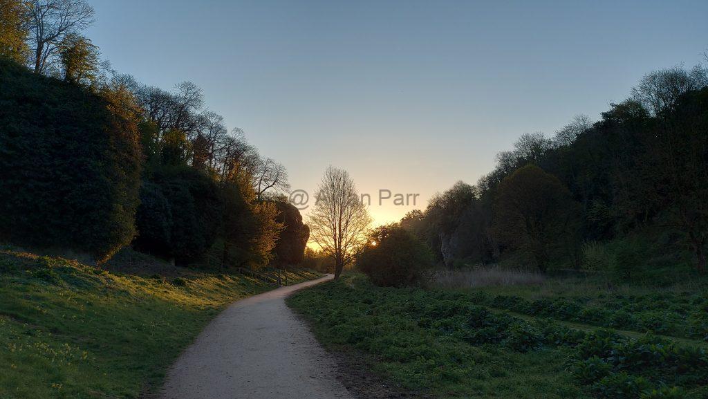
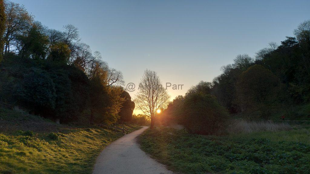
Then it’s out of the Crags and heading east.
Then it’s over the A60 (take care as it can be busy!) and you’re on the Robin Hood Way. It’s quite a confusing and winding route with many offshoots, so take a look here for ideas to walk it.
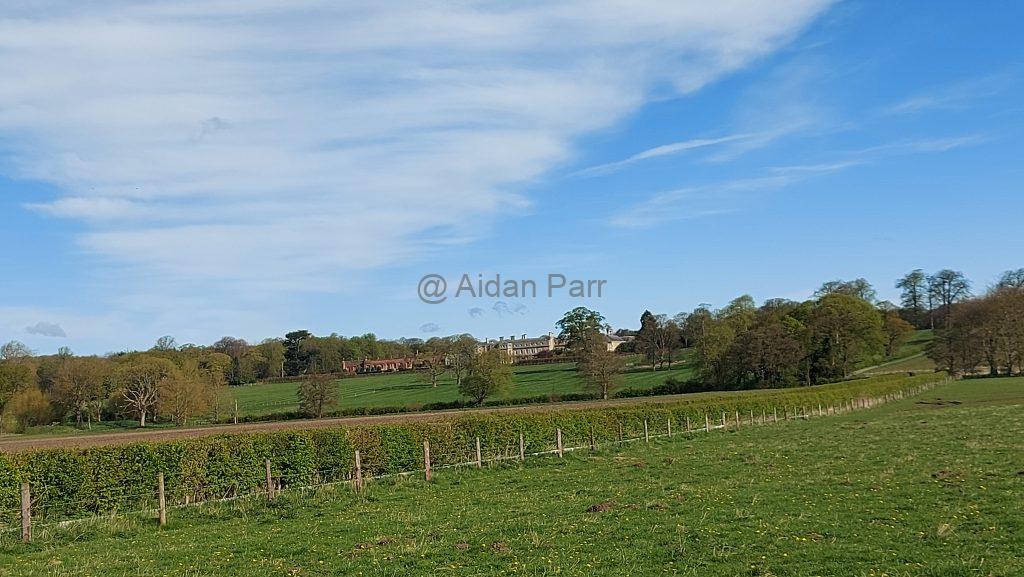
Still heading east with the main estate house to the south:
It’s a wonderfully peaceful section with no-one about. remember that there’s a lot of restrictions where you can walk and the Welbeck Estate owners provide lots of helpful red signs to keep you where they want you to be.
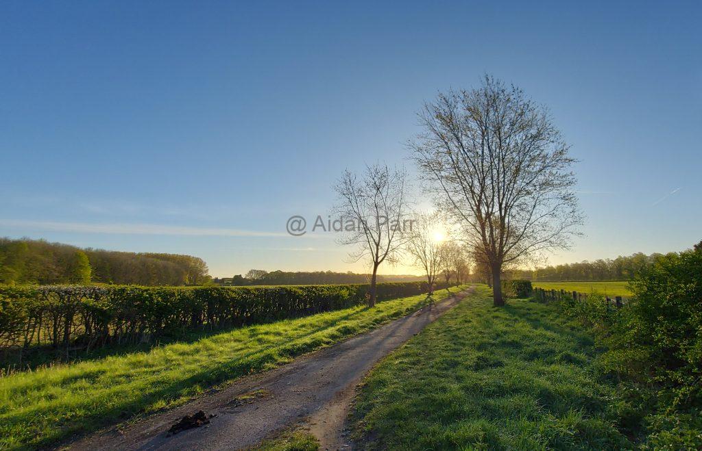
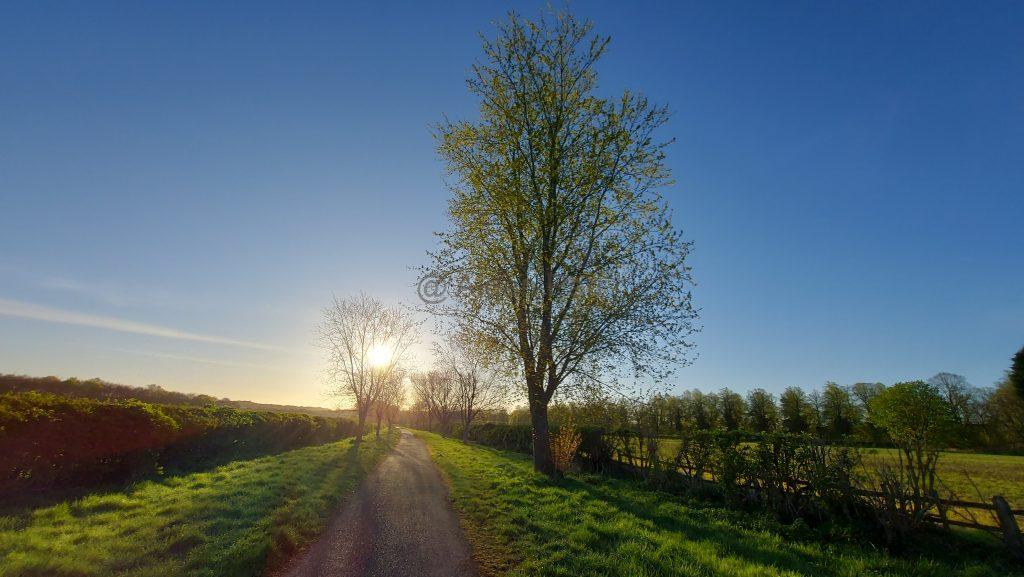
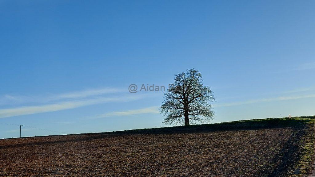
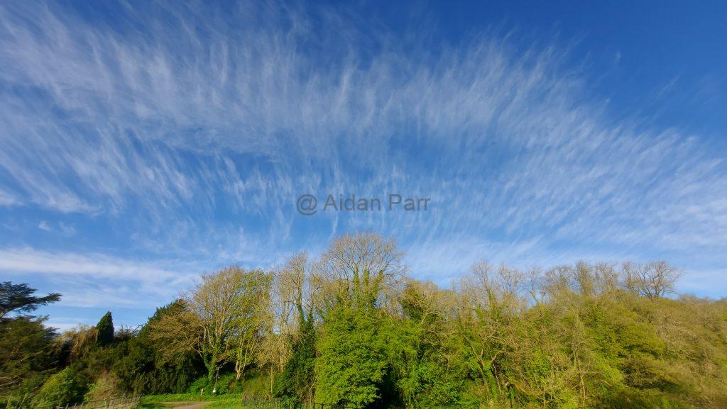
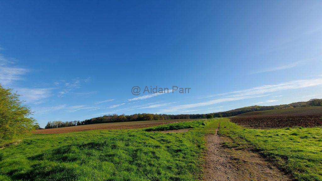
Then it’s out into farmland with wonderful ‘big skies’:
And then into a section of managed forest… with one last look back at the skies:
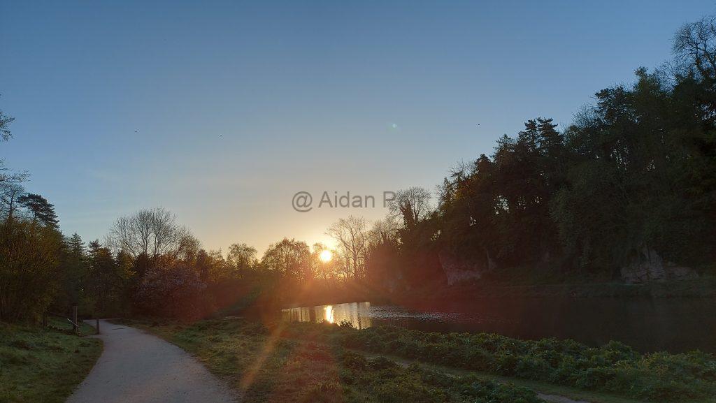
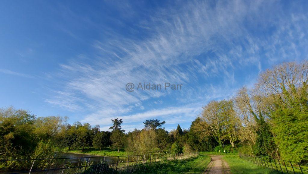
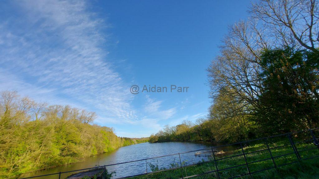
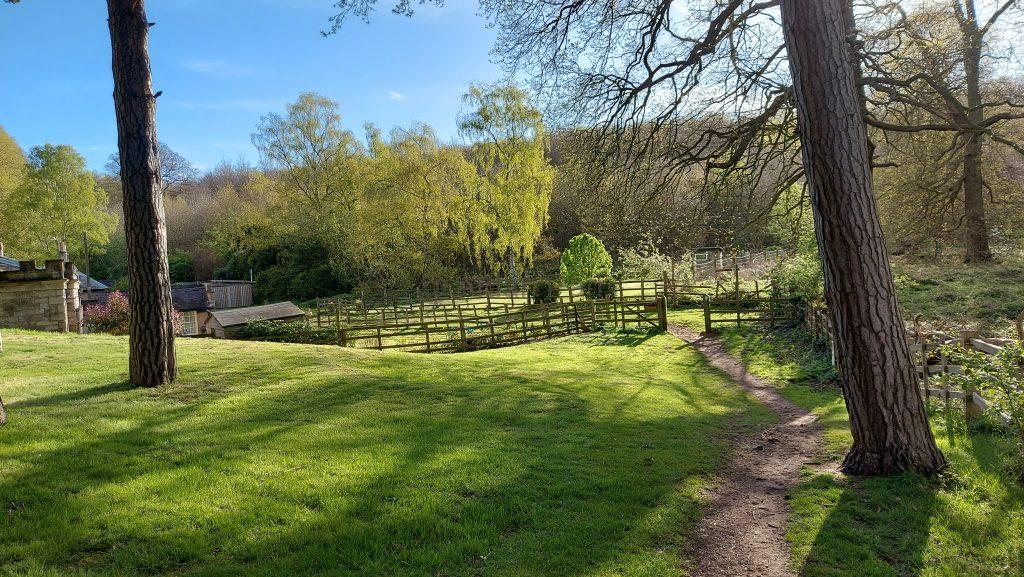
The lake is beautiful and full of birds, geese especially making their prescence known.
The lake area also gives views of the sky. I’m a big fan of clouds and I thought the fomrations were beautiful!
The video below probably does it more justice?
And then onwards easterly…
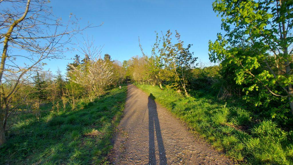
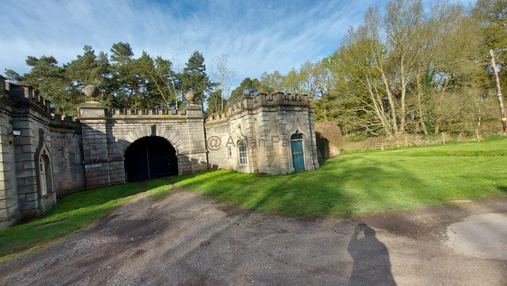
I think this might be an old gatehouse with the cottage next to it for the gatekeeper? Apologies for my shadow but you can’t do much about that with a low sun in the sky.
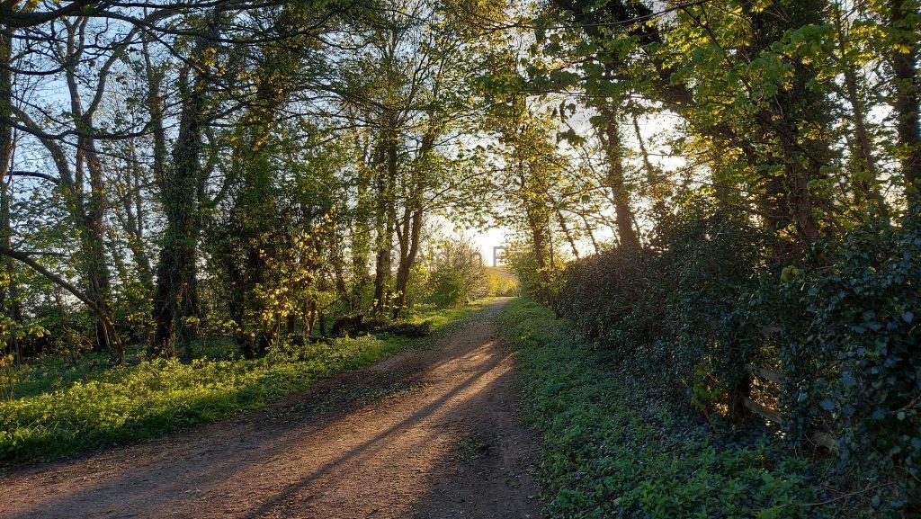
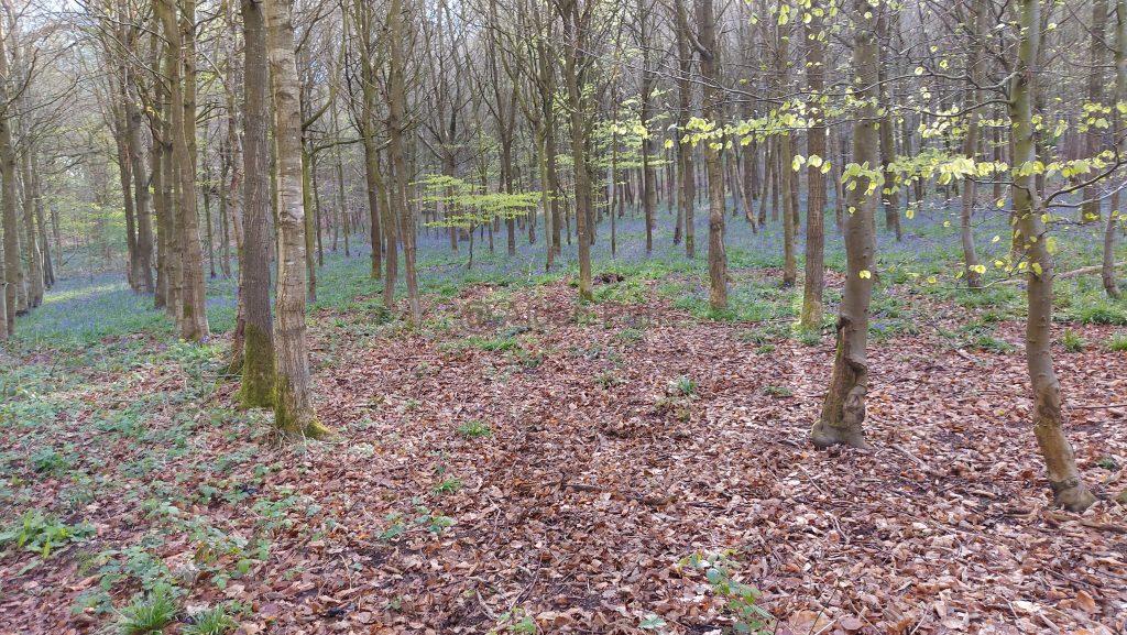
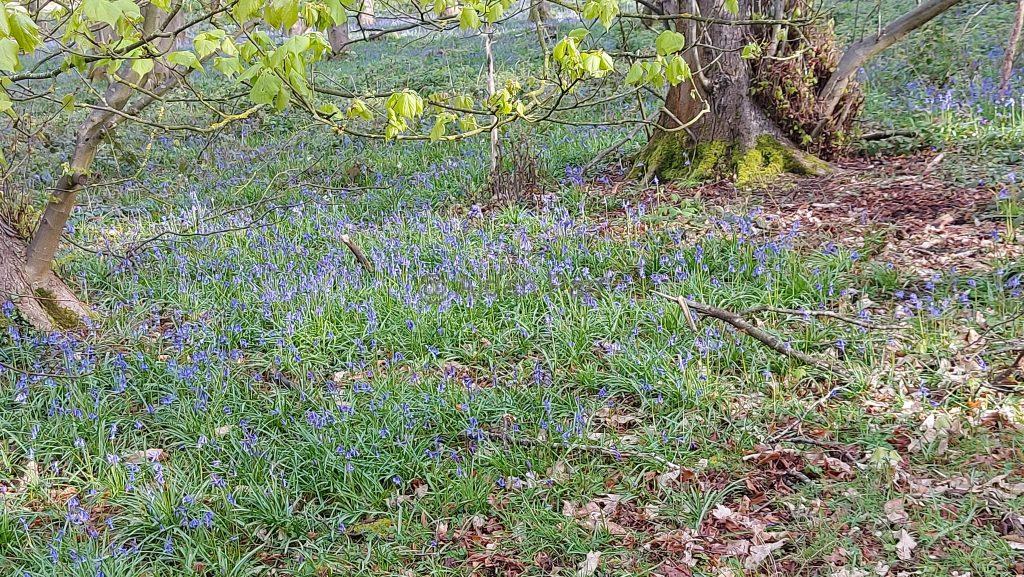
A nice bit of forest but apart from the bluebells, there’s not a lot of nature here – it’s all pine trees for logging, I think? Very sterile and quiet – no bird song at all.
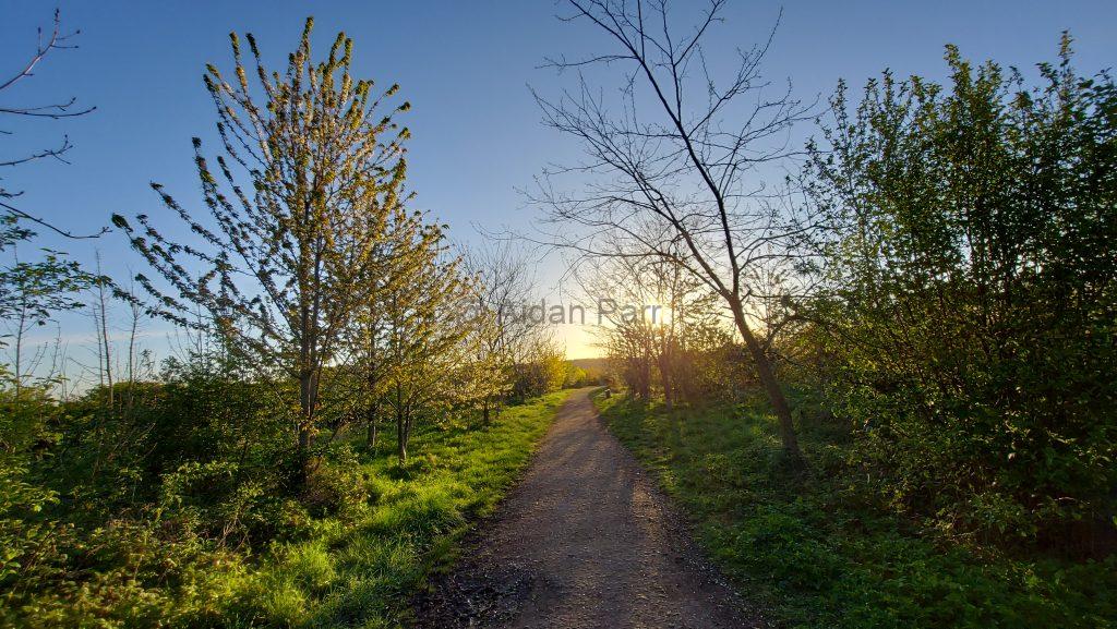
It’s quite a relief to be in open country again. There were skylarks everywhere singing and flying about. Othere birds too but they much to quick for me to take pictures. I enjoyed the riot of different birdson though.
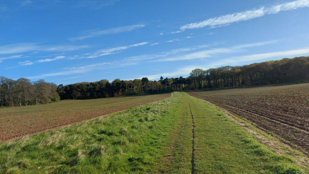
This was another area with ‘big skies’ and I loved all the difefrent sorts of cluds forming from the west:
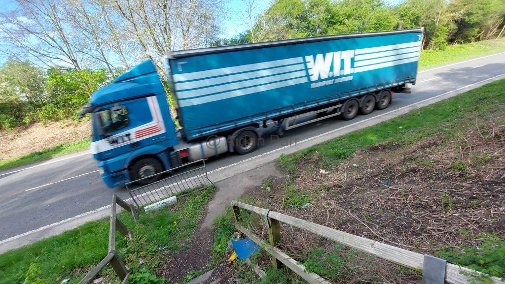
The last section wasn’t so nice. You have to cross the busy A57 road southwest of Worsop. Fortunately it’s not a dual carriageway and there were gaps in traffic. Then you run for it!
I’m not so keen on these huge lorries, to be honest?
Once over the road, you’re into urban Worksop. There the beautiful countryside and vistas end and it’s housing and finally the town centre. I caught the no. 77 from Worksop bus station to Creswell and then walked back to Creswell Crags.
Try the Traveline website for further information about bus and train options.
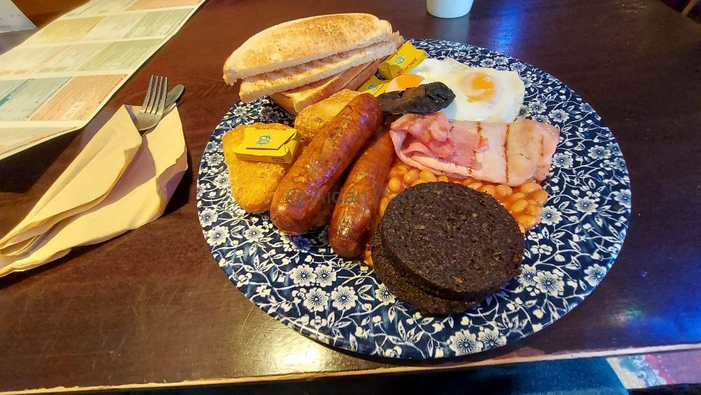
But not before ruining all my healthy walking with a large fried breakfast with black pudding and lots of coffee: